Local Life - Wigan - April 2019
Wigan's FREE local lifestyle magazine.
Wigan's FREE local lifestyle magazine.

You also want an ePaper? Increase the reach of your titles
YUMPU automatically turns print PDFs into web optimized ePapers that Google loves.
78<br />
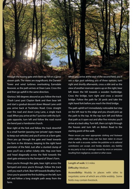
through the kissing gate and climb up hill on a gorse<br />
strewn path. The views are magnificent, the Darwen<br />
Tower and wind turbines overlooking Earnsdale<br />
Resovoir, as the path arrives at Dean Lane. Cross this<br />
and then go uphill in the same direction.<br />
Glorious 360 degrees abound as you follow the track<br />
(Trash Lane) past Clayton Bank and then bear left<br />
and start a gradual descent down Weasel Lane until<br />
you arrive back at Tockholes Road. Cross straight<br />
over the road and down Long Lane, a single track<br />
road. When you arrive at the T-junction with the lychgate<br />
opposite, turn left and follow the road round<br />
the bend past a handsome church.<br />
Bear right at the fork and follow the track downhill<br />
to a small hamlet (passing two ‘private’ signs meant<br />
to keep out vehicles) and you’ll arrive at a farm gate.<br />
Once you go through the gate and head towards<br />
the farm in the distance, keeping to the right hand<br />
perimeter of the field. Just after a stunted clump of<br />
trees you’ll see a rather rickety stile. Hop over here<br />
and head diagonally across the field towards the<br />
steel gate entrance to the farmyard of Shaw’s Farm.<br />
Once you’re through the gate, bear right across the<br />
farmyard and once you’re through, follow the track<br />
until you reach a fork. Bear left towards Bradley Farm.<br />
Once you’re passed the first building on the left, turn<br />
left and follow a long straight path away from the<br />
farm.<br />
When you arrive at the end of the second field, you’ll<br />
see a sign post advising you of three options, turn<br />
right and shortly afterwards, cross a stile and as the<br />
view of another reservoir opens up on the right, bear<br />
left down the hill towards a wooden footbridge.<br />
Cross the bridge, turn right and cross a second<br />
bridge. Follow the path for 20 yards and take the<br />
right hand fork before you reach the third bridge.<br />
The path uphill isn’t immediately noticeable but stay<br />
on the left near to the edge and you should pick up<br />
the path to the top. At the top turn left and follow<br />
that path as it open out and after five minutes you’ll<br />
arrive at a back alley. Turn left, then cut right through<br />
the houses and turn left on Bolton Road to the<br />
starting point of the walk.<br />
Please ensure you wear appropriate clothing and footwear<br />
whilst walking. Whilst every care has been taken to ensure<br />
that the walk is accurate, neither the publisher or its editorial<br />
contributors can accept, and hereby disclaim, any liability<br />
to any party to loss or damage caused by errors or omissions<br />
resulting from negligence, accident or other cause.<br />
Length of walk: 5.5 miles<br />
Difficulty: Medium<br />
Accessibility: Muddy in places with stiles to<br />
negotiate; some of which are a little wobbly. Some<br />
fields may contain livestock.