

Oxbow NWR Final CCP - U.S. Fish and Wildlife Service
Oxbow NWR Final CCP - U.S. Fish and Wildlife Service
Oxbow NWR Final CCP - U.S. Fish and Wildlife Service

Create successful ePaper yourself
Turn your PDF publications into a flip-book with our unique Google optimized e-Paper software.
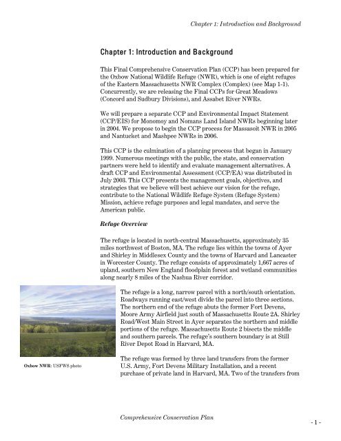
<strong>Oxbow</strong> <strong>NWR</strong>: USFWS photo<br />
Chapter 1: Introduction <strong>and</strong> Background<br />
Chapter 1: Introduction <strong>and</strong> Background<br />
This <strong>Final</strong> Comprehensive Conservation Plan (<strong>CCP</strong>) has been prepared for<br />
the <strong>Oxbow</strong> National <strong>Wildlife</strong> Refuge (<strong>NWR</strong>), which is one of eight refuges<br />
of the Eastern Massachusetts <strong>NWR</strong> Complex (Complex) (see Map 1-1).<br />
Concurrently, we are releasing the <strong>Final</strong> <strong>CCP</strong>s for Great Meadows<br />
(Concord <strong>and</strong> Sudbury Divisions), <strong>and</strong> Assabet River <strong>NWR</strong>s.<br />
We will prepare a separate <strong>CCP</strong> <strong>and</strong> Environmental Impact Statement<br />
(<strong>CCP</strong>/EIS) for Monomoy <strong>and</strong> Nomans L<strong>and</strong> Isl<strong>and</strong> <strong>NWR</strong>s beginning later<br />
in 2004. We propose to begin the <strong>CCP</strong> process for Massasoit <strong>NWR</strong> in 2005<br />
<strong>and</strong> Nantucket <strong>and</strong> Mashpee <strong>NWR</strong>s in 2006.<br />
This <strong>CCP</strong> is the culmination of a planning process that began in January<br />
1999. Numerous meetings with the public, the state, <strong>and</strong> conservation<br />
partners were held to identify <strong>and</strong> evaluate management alternatives. A<br />
draft <strong>CCP</strong> <strong>and</strong> Environmental Assessment (<strong>CCP</strong>/EA) was distributed in<br />
July 2003. This <strong>CCP</strong> presents the management goals, objectives, <strong>and</strong><br />
strategies that we believe will best achieve our vision for the refuge,<br />
contribute to the National <strong>Wildlife</strong> Refuge System (Refuge System)<br />
Mission, achieve refuge purposes <strong>and</strong> legal m<strong>and</strong>ates, <strong>and</strong> serve the<br />
American public.<br />
Refuge Overview<br />
The refuge is located in north-central Massachusetts, approximately 35<br />
miles northwest of Boston, MA. The refuge lies within the towns of Ayer<br />
<strong>and</strong> Shirley in Middlesex County <strong>and</strong> the towns of Harvard <strong>and</strong> Lancaster<br />
in Worcester County. The refuge consists of approximately 1,667 acres of<br />
upl<strong>and</strong>, southern New Engl<strong>and</strong> floodplain forest <strong>and</strong> wetl<strong>and</strong> communities<br />
along nearly 8 miles of the Nashua River corridor.<br />
The refuge is a long, narrow parcel with a north/south orientation.<br />
Roadways running east/west divide the parcel into three sections.<br />
The northern end of the refuge abuts the former Fort Devens,<br />
Moore Army Airfield just south of Massachusetts Route 2A. Shirley<br />
Road/West Main Street in Ayer separates the northern <strong>and</strong> middle<br />
portions of the refuge. Massachusetts Route 2 bisects the middle<br />
<strong>and</strong> southern parcels. The refuge’s southern boundary is at Still<br />
River Depot Road in Harvard, MA.<br />
The refuge was formed by three l<strong>and</strong> transfers from the former<br />
U.S. Army, Fort Devens Military Installation, <strong>and</strong> a recent<br />
purchase of private l<strong>and</strong> in Harvard, MA. Two of the transfers from<br />
Comprehensive Conservation Plan<br />
- 1 -


