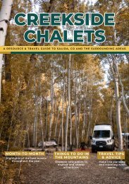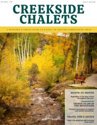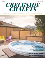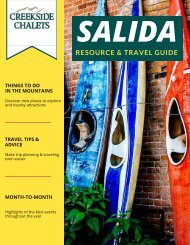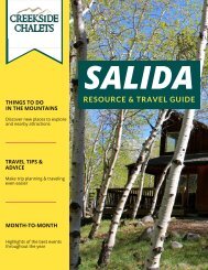

You also want an ePaper? Increase the reach of your titles
YUMPU automatically turns print PDFs into web optimized ePapers that Google loves.
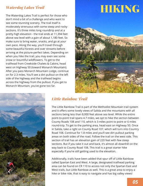
Waterdog Lakes Trail<br />
The Waterdog Lakes Trail is perfect for those who<br />
don’t mind a bit of a challenge and who want to<br />
see some stunning scenery. The trail itself is<br />
moderately strenuous with some steep and rocky<br />
sections. It’s three miles long roundtrip and at a<br />
pretty high elevation - the trail ends at 11,394 feet<br />
above sea level with a gain of about 1,180 feet. So<br />
make sure to bring water, snacks, and go at your<br />
own pace. Along the way, you’ll travel through<br />
some beautiful forests and over streams before<br />
arriving at the picture-perfect lakes. Depending on<br />
when you hike the trail, you may even see some<br />
snow or bountiful wildflowers. To get to the<br />
trailhead from Creekside Chalets & Cabins, head<br />
west on Highway 50 (toward Monarch Mountain).<br />
After you pass Monarch Mountain Lodge, continue<br />
on for 2.3 miles. You’ll see a dirt pullout on the left<br />
side of the highway and the trailhead begins<br />
across the highway from the pullout. If you get to<br />
Monarch Mountain, you’ve gone too far.<br />
HIKING<br />
Little Rainbow Trail<br />
The Little Rainbow Trail is part of the Methodist Mountain trail system<br />
and it offers some lovely views of <strong>Salida</strong> and the mountains with all<br />
sections being less than 8,000 feet above sea level. While the entire<br />
point-to-point trail spans 4.7 miles, we opt to hike the section between<br />
County Roads 108 and 110, which is 3 miles point to point or 6 miles<br />
round-trip. To get to the parking area, head east on Highway 50. Once<br />
in <strong>Salida</strong>, take a right on County Road 107, which will turn into Country<br />
Road 108. Continue for 1.8 miles and you’ll see dirt pullout parking<br />
areas on both sides of the road. Follow the trail on the west side. This<br />
section of trail has an elevation gain of 220 feet with few steep<br />
sections. But if you take it out and back, it’s almost all downhill on the<br />
way back to County Road 108. This trail is a great starter hike<br />
especially if you’re still getting used to the elevation.<br />
Additionally, trails have been added that spur off of Little Rainbow<br />
called Spartan East and West. A large, designated trailhead parking<br />
area can be found on CR 110 to access not only the Spartan East and<br />
West trails, but Little Rainbow as well. This is a great area to enjoy a<br />
hike or bike ride, that is easy to navigate and has big valley views!<br />
05