


Create successful ePaper yourself
Turn your PDF publications into a flip-book with our unique Google optimized e-Paper software.
www.optech.com<br />
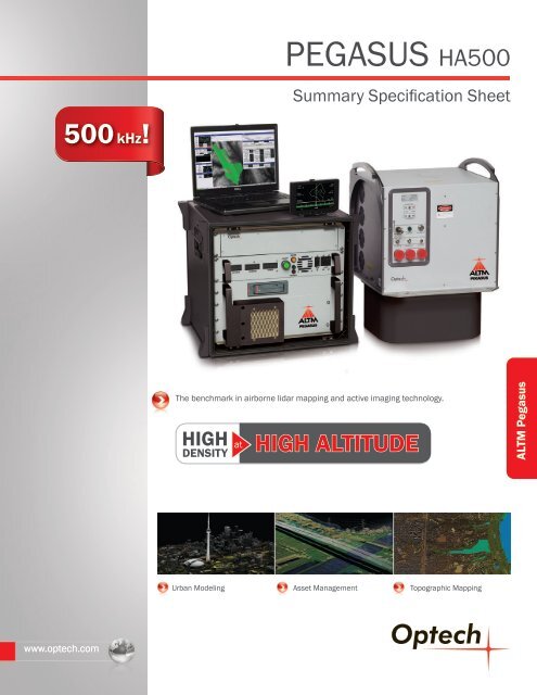
500 kHz!<br />
PEGASUS <strong>HA500</strong><br />
Summary Specification Sheet<br />
The benchmark in airborne lidar mapping and active imaging technology.<br />
HIGH<br />
DENSITY<br />
at<br />
HIGH ALTITUDE<br />
Urban Modeling Asset Management<br />
Topographic Mapping<br />
<strong>Optech</strong><br />
<strong>ALTM</strong> <strong>Pegasus</strong>
PEGASUS <strong>HA500</strong><br />
The <strong>ALTM</strong> <strong>Pegasus</strong> Advantage<br />
<strong>Pegasus</strong> is ideally suited for applications that require maximum collection efficiency in a wide FOV design, while maintaining<br />
enhanced target detail and maximum ground density with high range accuracy and precision.<br />
yyDual output laser system for maximum density capability<br />
yyHigh laser sampling rate for enhanced efficiency in XY<br />
point distribution<br />
yyExtended operating envelope<br />
y y“Drop-in”<br />
sensor design for unrestricted use of advertised<br />
FOV in deep portal installations<br />
yyHigh accuracy and precision independent of pulse rate,<br />
enabled by <strong>Optech</strong>’s iFLEX technology<br />
Parameter Specification<br />
<strong>Optech</strong><br />
300 Interchange Way, Vaughan ON, Canada L4K 5Z8<br />
Tel: +1 905 660 0808 Fax: +1 905 660 0829<br />
www.optech.com<br />
© <strong>Optech</strong> Incorporated. E&OE. Information subject to change without notice. Printed in Canada. 121123<br />
yyThe latest in tightly-coupled inertial and Virtual Reference<br />
System processing technology, enabling steep turns,<br />
extended GPS baselines, and the elimination of remote<br />
base stations<br />
yyPowerful <strong>Optech</strong> LMS lidar pre-processing software with<br />
automated lidar rectification<br />
yyReal-time point display and in-air LAS file generator for<br />
true coverage verification<br />
Operational envelope ¹˒²˒³˒⁴ 150-5000 m AGL, nominal<br />
Laser wavelength 1064 nm<br />
Horizontal accuracy ² 1/5,500 x altitude, 1 σ<br />
Elevation accuracy ²