ORMSKIRK - Lancashire County Council
ORMSKIRK - Lancashire County Council
ORMSKIRK - Lancashire County Council
Create successful ePaper yourself
Turn your PDF publications into a flip-book with our unique Google optimized e-Paper software.
<strong>Lancashire</strong> Historic Town Survey Ormskirk<br />
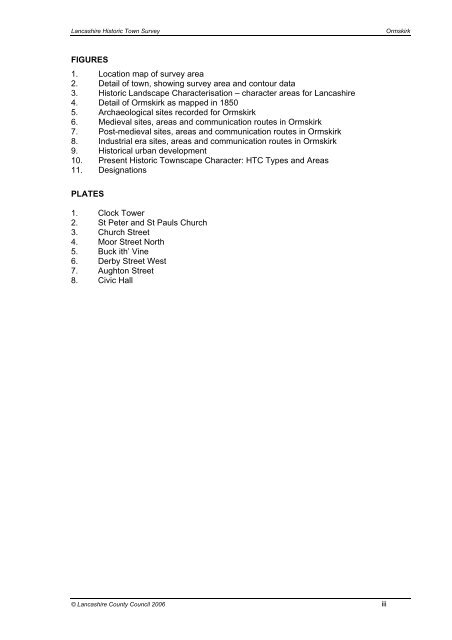
FIGURES<br />
1. Location map of survey area<br />
2. Detail of town, showing survey area and contour data<br />
3. Historic Landscape Characterisation – character areas for <strong>Lancashire</strong><br />
4. Detail of Ormskirk as mapped in 1850<br />
5. Archaeological sites recorded for Ormskirk<br />
6. Medieval sites, areas and communication routes in Ormskirk<br />
7. Post-medieval sites, areas and communication routes in Ormskirk<br />
8. Industrial era sites, areas and communication routes in Ormskirk<br />
9. Historical urban development<br />
10. Present Historic Townscape Character: HTC Types and Areas<br />
11. Designations<br />
PLATES<br />
1. Clock Tower<br />
2. St Peter and St Pauls Church<br />
3. Church Street<br />
4. Moor Street North<br />
5. Buck ith’ Vine<br />
6. Derby Street West<br />
7. Aughton Street<br />
8. Civic Hall<br />
© <strong>Lancashire</strong> <strong>County</strong> <strong>Council</strong> 2006 iii


