

Complete April packet - City of North Liberty
Complete April packet - City of North Liberty
Complete April packet - City of North Liberty

You also want an ePaper? Increase the reach of your titles
YUMPU automatically turns print PDFs into web optimized ePapers that Google loves.
the anticipated/proposed layout to help the city and interested parties understand how streets and lots<br />
would lay out with the zoning as requested. Comments should be limited in general to the zoning itself,<br />
although some zoning concerns will affect any subdivision plat and need to be identified during this<br />
discussion.<br />
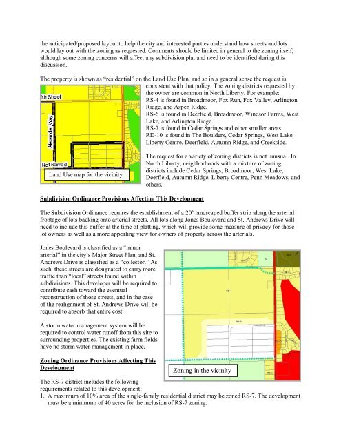
The property is shown as “residential” on the Land Use Plan, and so in a general sense the request is<br />
consistent with that policy. The zoning districts requested by<br />
the owner are common in <strong>North</strong> <strong>Liberty</strong>. For example:<br />
RS-4 is found in Broadmoor, Fox Run, Fox Valley, Arlington<br />
Ridge, and Aspen Ridge.<br />
RS-6 is found in Deerfield, Broadmoor, Windsor Farms, West<br />
Lake, and Arlington Ridge.<br />
RS-7 is found in Cedar Springs and other smaller areas.<br />
RD-10 is found in The Boulders, Cedar Springs, West Lake,<br />
<strong>Liberty</strong> Centre, Deerfield, Autumn Ridge, and Creekside.<br />
Land Use map for the vicinity<br />
Subdivision Ordinance Provisions Affecting This Development<br />
The request for a variety <strong>of</strong> zoning districts is not unusual. In<br />
<strong>North</strong> <strong>Liberty</strong>, neighborhoods with a mixture <strong>of</strong> zoning<br />
districts include Cedar Springs, Broadmoor, West Lake,<br />
Deerfield, Autumn Ridge, <strong>Liberty</strong> Centre, Penn Meadows, and<br />
others.<br />
The Subdivision Ordinance requires the establishment <strong>of</strong> a 20’ landscaped buffer strip along the arterial<br />
frontage <strong>of</strong> lots backing onto arterial streets. All lots along Jones Boulevard and St. Andrews Drive will<br />
need to include this buffer at the time <strong>of</strong> platting, which will provide some measure <strong>of</strong> privacy for those<br />
lot owners as well as a more appealing view for owners <strong>of</strong> property across the arterials.<br />
Jones Boulevard is classified as a “minor<br />
arterial” in the city’s Major Street Plan, and St.<br />
Andrews Drive is classified as a “collector.” As<br />
such, these streets are designated to carry more<br />
traffic than “local” streets found within<br />
subdivisions. This developer will be required to<br />
contribute cash toward the eventual<br />
reconstruction <strong>of</strong> those streets, and in the case<br />
<strong>of</strong> the realignment <strong>of</strong> St. Andrews Drive will be<br />
required to absorb that entire cost.<br />
A storm water management system will be<br />
required to control water run<strong>of</strong>f from this site to<br />
surrounding properties. The existing farm fields<br />
have no storm water management in place.<br />
Zoning Ordinance Provisions Affecting This<br />
Development<br />
Zoning in the vicinity<br />
The RS-7 district includes the following<br />
requirements related to this development:<br />
1. A maximum <strong>of</strong> 10% area <strong>of</strong> the single-family residential district may be zoned RS-7. The development<br />
must be a minimum <strong>of</strong> 40 acres for the inclusion <strong>of</strong> RS-7 zoning.