VIIRS Geolocation (GEO) Sensor Data Record (SDR) - Nasa
VIIRS Geolocation (GEO) Sensor Data Record (SDR) - Nasa
VIIRS Geolocation (GEO) Sensor Data Record (SDR) - Nasa
You also want an ePaper? Increase the reach of your titles
YUMPU automatically turns print PDFs into web optimized ePapers that Google loves.
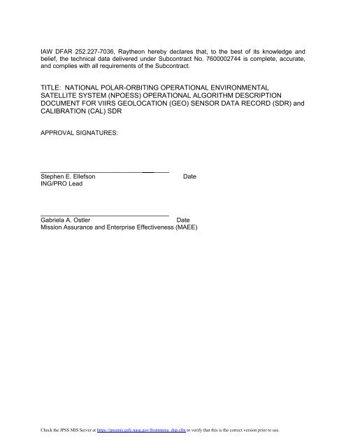
IAW DFAR 252.227-7036, Raytheon hereby declares that, to the best of its knowledge and<br />
belief, the technical data delivered under Subcontract No. 7600002744 is complete, accurate,<br />
and complies with all requirements of the Subcontract.<br />
TITLE: NATIONAL POLAR-ORBITING OPERATIONAL ENVIRONMENTAL<br />
SATELLITE SYSTEM (NPOESS) OPERATIONAL ALGORITHM DESCRIPTION<br />
DOCUMENT FOR <strong>VIIRS</strong> <strong>GEO</strong>LOCATION (<strong>GEO</strong>) SENSOR DATA RECORD (<strong>SDR</strong>) and<br />
CALIBRATION (CAL) <strong>SDR</strong><br />
APPROVAL SIGNATURES:<br />
__________________________________<br />
Stephen E. Ellefson Date<br />
ING/PRO Lead<br />
__________________________________<br />
Gabriela A. Ostler Date<br />
Mission Assurance and Enterprise Effectiveness (MAEE)<br />
Check the JPSS MIS Server at https://jpssmis.gsfc.nasa.gov/frontmenu_dsp.cfm to verify that this is the correct version prior to use.


