INSTITUTO TECNOLÓGICO DE CHALATENANGO

You also want an ePaper? Increase the reach of your titles
YUMPU automatically turns print PDFs into web optimized ePapers that Google loves.
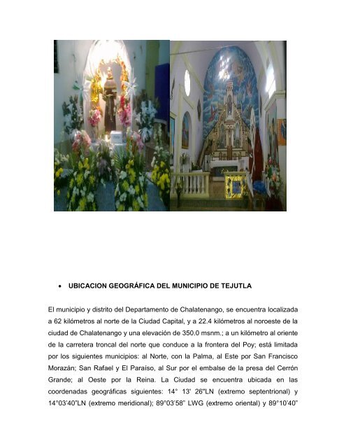
UBICACION GEOGRÁFICA <strong>DE</strong>L MUNICIPIO <strong>DE</strong> TEJUTLA<br />
El municipio y distrito del Departamento de Chalatenango, se encuentra localizada<br />
a 62 kilómetros al norte de la Ciudad Capital, y a 22.4 kilómetros al noroeste de la<br />
ciudad de Chalatenango y una elevación de 350.0 msnm.; a un kilómetro al oriente<br />
de la carretera troncal del norte que conduce a la frontera del Poy; está limitada<br />
por los siguientes municipios: al Norte, con la Palma, al Este por San Francisco<br />
Morazán; San Rafael y El Paraíso, al Sur por el embalse de la presa del Cerrón<br />
Grande; al Oeste por la Reina. La Ciudad se encuentra ubicada en las<br />
coordenadas geográficas siguientes: 14° 13' 26''LN (extremo septentrional) y<br />
14°03’40”LN (extremo meridional); 89°03’58” LWG (extremo oriental) y 89°10’40”