SERVICIO GEOGRÃFICO MILITAR - Ejército Nacional
SERVICIO GEOGRÃFICO MILITAR - Ejército Nacional
SERVICIO GEOGRÃFICO MILITAR - Ejército Nacional

Create successful ePaper yourself
Turn your PDF publications into a flip-book with our unique Google optimized e-Paper software.
<strong>SERVICIO</strong> GEOGRÁFICO <strong>MILITAR</strong><br />
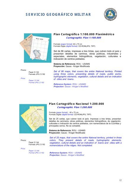
Plan Cartográfico 1:100.000 Planimétrico<br />
Cartographic Plan 1:100.000<br />
Formato (paper format): 60 x 75 cm<br />
Formato Digita (digital format): CD-ROM(JPG, TIFF)<br />
Set de 86 cartas, impresas a tres tintas, que cubren todo el país y<br />
presentan detalles de caminos, obras públicas, industriales y<br />
especiales, elementos hidrográficos, vegetación, culturales e<br />
indicación de centros poblados.<br />
Sistema de Referencia: ROU - USAMS<br />
Proyección: Gauss - Krüger Modificada<br />
Precio:<br />
Price:<br />
Papel: $ 144<br />
Formato JPG: $ 192<br />
Paper: $ 144<br />
Format JPG: $ 192<br />
Set of 86 maps, that covers the entire National territory. Printed<br />
using three colors, presenting details of roads, public works,<br />
hydrographic elements, vegetation, cultural details and an indication<br />
of cities and towns.<br />
Reference System: ROU - USAMS<br />
Projection: Gauss - Krüger’s Modified<br />
Plan Cartográfico <strong>Nacional</strong> 1:200.000<br />
Cartographic Plan 1:200.000<br />
Precio:<br />
Price:<br />
Papel: $ 144<br />
Formato JPG: $ 192<br />
Paper: $ 144<br />
Format JPG: $ 192<br />
Formato (paper format) : 60 x 75 cm<br />
Formato Digital (digital format) :CD-ROM(JPG, TIFF)<br />
Set de 25 cartas, que cubren todo el país. Impresas a tres tintas, presentan<br />
detalles de camineria, obras públicas, elementos hidrográficos, de vegetación,<br />
culturales e indicación de centros poblados, con nomenclatura de la Cuchillas y<br />
principales cerros. No se completó.<br />
Sistema de Referencia: ROU - USAMS<br />
Proyección: Gauss - Krüger Modificada<br />
Set of 25 maps, that covers the entire Natonal territory, printed in three<br />
colors. They present details of roads, hydrographic elements,<br />
vegetation, cultural details and an indication of towns and cities with a<br />
nomenclature of the ridges. Not completed.<br />
Reference System: ROU - USAMS<br />
Projection: Gauss - Krüger’s Modified<br />
12