GEOPROCESSAMENTO Aula 1 - LEB/ESALQ/USP
GEOPROCESSAMENTO Aula 1 - LEB/ESALQ/USP
GEOPROCESSAMENTO Aula 1 - LEB/ESALQ/USP

You also want an ePaper? Increase the reach of your titles
YUMPU automatically turns print PDFs into web optimized ePapers that Google loves.
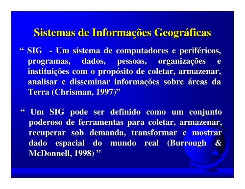
Sistemas de Informações Informa ões Geográficas<br />
Geogr ficas<br />
“ SIG - Um sistema de computadores e periféricos, perif ricos,<br />
programas, dados, pessoas, organizações organiza ões e<br />
instituições institui ões com o propósito prop sito de coletar, armazenar,<br />
analisar e disseminar informações informa ões sobre áreas reas da<br />
Terra (Chrisman ( Chrisman, , 1997)”<br />
1997)<br />
“ Um SIG pode ser definido como um conjunto<br />
poderoso de ferramentas para coletar, armazenar,<br />
recuperar sob demanda, transformar e mostrar<br />
dado espacial do mundo real (Burrough ( Burrough &<br />
McDonnell, McDonnell,<br />
1998) ”