Organ Pipe Cactus National Monument (National Geographic Trails Illustrated Map)
Organ Pipe Cactus National Monument (National Geographic Trails Illustrated Map)
Organ Pipe Cactus National Monument (National Geographic Trails Illustrated Map)

You also want an ePaper? Increase the reach of your titles
YUMPU automatically turns print PDFs into web optimized ePapers that Google loves.
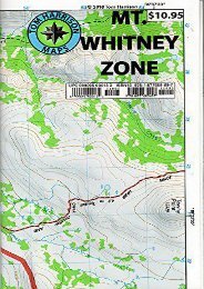
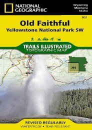
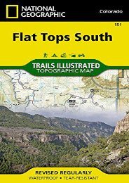
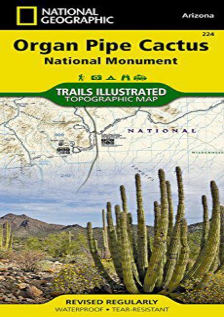
<strong>Organ</strong> <strong>Pipe</strong> <strong>Cactus</strong> <strong>National</strong> <strong>Monument</strong> (<strong>National</strong> <strong>Geographic</strong> <strong>Trails</strong> <strong>Illustrated</strong> <strong>Map</strong>) (<strong>National</strong> <strong>Geographic</strong> <strong>Map</strong>s - <strong>Trails</strong> <strong>Illustrated</strong>) • Waterproof • Tear-Resistant • Topographic <strong>Map</strong>Located in southern Arizona along the Mexican border, <strong>Organ</strong> <strong>Pipe</strong> <strong>Cactus</strong> <strong>National</strong> <strong>Monument</strong> is home to beautiful cacti and other desert flora. Being primarily desert backcountry, good navigation tools are essential for both your safety and enjoyment while exploring. <strong>National</strong> <strong>Geographic</strong> s <strong>Trails</strong> <strong>Illustrated</strong> map of <strong>Organ</strong> <strong>Pipe</strong> <strong>Cactus</strong> <strong>National</strong> <strong>Monument</strong> was created in cooperation with the <strong>National</strong> Park Service and is the most comprehensive topographic map available. Crucial features such as contour lines, elevations, labeled peaks and summits, water features, selected waypoints and clearly labeled backcountry zones will aid your navigation off the beaten path.For those preferring a less strenuous adventure, mapped hiking trails and a complete road network, including high-clearance and four-wheel drive roads, will lead you through the area. A hiking trail chart gives descriptions and distances for various routes. Roads are shown with roadside picnic areas, restrooms and other amenities. A flowering calendar shows the blooming periods of several desert flora. Included also are general safety tips, backcountry regulations and ethics, a temperature chart and contact information. The<br />
map covers the entire <strong>Organ</strong> <strong>Pipe</strong> <strong>Cactus</strong>, including Diablo, Bates and Puerto Blanco Mountains, Cipriano Hills, La Abra Plain, Valley of the Ajo and Sonoyota Valley, as well as parts of neighboring Tohono O Odham Indian Reservation, Cabeza Prieta NWR and the Mexican town of Sonoyota.Every <strong>Trails</strong> <strong>Illustrated</strong> map is printed on "Backcountry Tough" waterproof, tear-resistant paper. A full UTM grid is printed on the map to aid with GPS navigation.Other features found on this map include: Ajo Range, <strong>Organ</strong> <strong>Pipe</strong> <strong>Cactus</strong> <strong>National</strong> <strong>Monument</strong>.<strong>Map</strong> Scale = 1:50,000Sheet Size = 25.5" x 37.75"Folded Size = 4.25" x 9.25"<br />
<strong>Organ</strong> <strong>Pipe</strong> <strong>Cactus</strong> <strong>National</strong><br />
<strong>Monument</strong> (<strong>National</strong> <strong>Geographic</strong><br />
<strong>Trails</strong> <strong>Illustrated</strong> <strong>Map</strong>)