Airborne Based Augmentation System (ABAS) - SIRAJ
Airborne Based Augmentation System (ABAS) - SIRAJ
Airborne Based Augmentation System (ABAS) - SIRAJ

You also want an ePaper? Increase the reach of your titles
YUMPU automatically turns print PDFs into web optimized ePapers that Google loves.
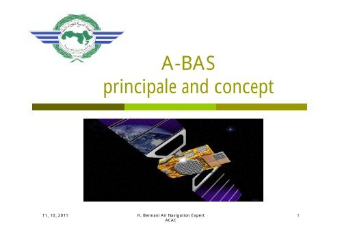
A-BAS<br />
principale and concept<br />
11_10_2011 H. Bennani Air Navigation Expert<br />
ACAC<br />
1
Target<br />
� to know how the GNSS concept was been<br />
designed.<br />
� To define the component of GNSS<br />
<strong>Airborne</strong> <strong>Based</strong> <strong>Augmentation</strong> system .<br />
11_10_2011 H. Bennani Air Navigation Expert<br />
ACAC<br />
2
A-BAS<br />
Index<br />
Introduction<br />
<strong>Airborne</strong> <strong>Based</strong><br />
<strong>Augmentation</strong> system<br />
11_10_2011 H. Bennani Air Navigation Expert<br />
ACAC<br />
3
GNSS Elements<br />
GPS<br />
<strong>ABAS</strong><br />
Core Constellations<br />
SBAS<br />
<strong>Augmentation</strong>s<br />
IO<br />
R<br />
GLONASS<br />
GBAS
A-BAS<br />
A-BAS: <strong>Airborne</strong> <strong>Based</strong> <strong>Augmentation</strong><br />
<strong>System</strong><br />
� Use 3 technical solution to reach the ICAO<br />
navigation performance requirement:<br />
� RAIM & FDE<br />
� AAIM<br />
� Integration of on-board information<br />
02_12_07 H.Bennani ingénieur aéronautique<br />
cours CNS/ATM<br />
5
RAIM<br />
� RAIM & FDE: a technique which uses<br />
redundant GNSS information to provide<br />
GPS data integrity:<br />
� RAIM Algorithm � 5+ sat visible<br />
� There are not enough satellites with adequate<br />
geometry in view<br />
� Accuracy may be good but not Integrity<br />
� Algorithm du FDE � 6+ Sat visible,<br />
� receiver detects a satellite fault<br />
� This type of alert results in the loss of GNSS<br />
navigation capability<br />
02_12_07 H.Bennani ingénieur aéronautique<br />
cours CNS/ATM<br />
6
AAIM<br />
AAIM: Aircraft Autonomous Integrity Monitoring<br />
� uses the redundancy of position estimates<br />
from multiple sensors, including GNSS, to<br />
provide integrity performance<br />
� We use INS / IRS as an integrity check on GPS<br />
data when RAIM is unavailable<br />
02_12_07 H.Bennani ingénieur aéronautique<br />
cours CNS/ATM<br />
7
Integration of on-board information<br />
� Non-GNSS information can be combined with GNSS<br />
information to enhance the performance of the<br />
integrated navigation system<br />
� using GNSS sensor data as an input to a multisensor<br />
navigation solution calculated by a FMS<br />
� improves the availability of the aircraft’s navigation<br />
function.<br />
� Using navigation sensors to coast through short<br />
periods when<br />
� poor satellite geometry<br />
� the aircraft structure shadows the GNSS antennas while<br />
maneuvering<br />
02_12_07 H.Bennani ingénieur aéronautique<br />
cours CNS/ATM<br />
8
GPS, IRS, GPIRS Performance<br />
02_12_07 H.Bennani ingénieur aéronautique<br />
cours CNS/ATM<br />
9
IRS Performance<br />
Regularly drift<br />
02_12_07 H.Bennani ingénieur aéronautique<br />
cours CNS/ATM<br />
10
GPS Performance<br />
Overhall in virage No smooth curve<br />
02_12_07 H.Bennani ingénieur aéronautique<br />
cours CNS/ATM<br />
11
GPIRS Performance<br />
Best performance<br />
02_12_07 H.Bennani ingénieur aéronautique<br />
cours CNS/ATM<br />
12
questions please<br />
11_10_2011 H. Bennani Air Navigation Expert<br />
ACAC<br />
13