
You also want an ePaper? Increase the reach of your titles
YUMPU automatically turns print PDFs into web optimized ePapers that Google loves.
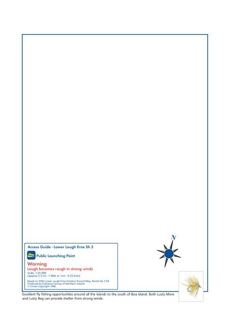
Access Guide - <strong>Lower</strong> <strong>Lough</strong> <strong>Erne</strong> Sh 3<br />
Public Launching Point<br />
Warning<br />
<strong>Lough</strong> becomes rough in strong winds<br />
Scale: 1:25 000<br />
(approx 2.5 ins - 1 Mile or 1cm - 0·25 Kms)<br />
Based on OSNI <strong>Lower</strong> <strong>Lough</strong> <strong>Erne</strong> Outdoor Pursuit <strong>Map</strong>. Permit No 1154<br />
Produced by Ordnance Survey of Northern Ireland<br />
© Crown Copyright 1998<br />
Excellent fly fishing opportunities around all the islands to the south of Boa Island. Both Lusty More<br />
and Lusty Beg can provide shelter from strong winds.<br />
N