
You also want an ePaper? Increase the reach of your titles
YUMPU automatically turns print PDFs into web optimized ePapers that Google loves.
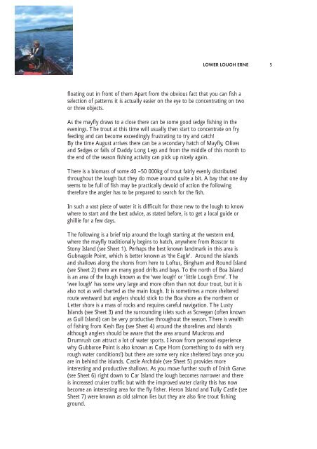
LOWER LOUGH ERNE<br />
floating out in front of them Apart from the obvious fact that you can fish a<br />
selection of patterns it is actually easier on the eye to be concentrating on two<br />
or three objects.<br />
As the mayfly draws to a close there can be some good sedge fishing in the<br />
evenings. The trout at this time will usually then start to concentrate on fry<br />
feeding and can become exceedingly frustrating to try and catch!<br />
By the time August arrives there can be a secondary hatch of Mayfly, Olives<br />
and Sedges or falls of Daddy Long Legs and from the middle of this month to<br />
the end of the season fishing activity can pick up nicely again.<br />
There is a biomass of some 40 –50 000kg of trout fairly evenly distributed<br />
throughout the lough but they do move around quite a bit. A bay that one day<br />
seems to be full of fish may be practically devoid of action the following<br />
therefore the angler has to be prepared to search for the fish.<br />
In such a vast piece of water it is difficult for those new to the lough to know<br />
where to start and the best advice, as stated before, is to get a local guide or<br />
ghillie for a few days.<br />
The following is a brief trip around the lough starting at the western end,<br />
where the mayfly traditionally begins to hatch, anywhere from Rosscor to<br />
Stony Island (see Sheet 1). Perhaps the best known landmark in this area is<br />
Gubnagole Point, which is better known as ‘the Eagle’. Around the islands<br />
and shallows along the shores from here to Loftus, Bingham and Round Island<br />
(see Sheet 2) there are many good drifts and bays. To the north of Boa Island<br />
is an area of the lough known as the ‘wee lough’ or ‘little <strong>Lough</strong> <strong>Erne</strong>’. The<br />
‘wee lough’ has some very large and more often than not dour trout, but it is<br />
also not as well charted as the main lough. It is sometimes a more sheltered<br />
route westward but anglers should stick to the Boa shore as the northern or<br />
Letter shore is a mass of rocks and requires careful navigation. The Lusty<br />
Islands (see Sheet 3) and the surrounding islets such as Screegan (often known<br />
as Gull Island) can be very productive throughout the season. There is wealth<br />
of fishing from Kesh Bay (see Sheet 4) around the shorelines and islands<br />
although anglers should be aware that the area around Muckross and<br />
Drumrush can attract a lot of water sports. I know from personal experience<br />
why Gubbaroe Point is also known as Cape Horn (something to do with very<br />
rough water conditions!) but there are some very nice sheltered bays once you<br />
are in behind the islands. Castle Archdale (see Sheet 5) provides more<br />
interesting and productive shallows. As you move further south of Inish Garve<br />
(see Sheet 6) right down to Car Island the lough becomes narrower and there<br />
is increased cruiser traffic but with the improved water clarity this has now<br />
become an interesting area for the fly fisher. Heron Island and Tully Castle (see<br />
Sheet 7) were known as old salmon lies but they are also fine trout fishing<br />
ground.<br />
5