Iver 11-13 Edit:MAIN GUIDE TEMPLATE - Iver Parish Council
Iver 11-13 Edit:MAIN GUIDE TEMPLATE - Iver Parish Council
Iver 11-13 Edit:MAIN GUIDE TEMPLATE - Iver Parish Council

You also want an ePaper? Increase the reach of your titles
YUMPU automatically turns print PDFs into web optimized ePapers that Google loves.
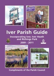
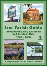
IVER PARISH <strong>GUIDE</strong><br />
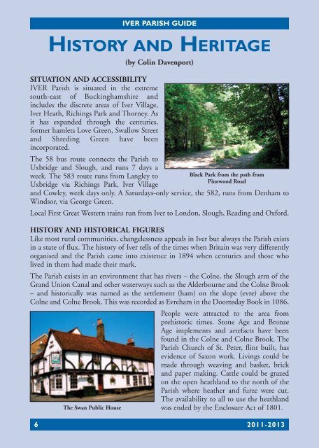
HISTORY AND HERITAGE<br />
(by Colin Davenport)<br />
SITUATION AND ACCESSIBILITY<br />
IVER <strong>Parish</strong> is situated in the extreme<br />
south-east of Buckinghamshire and<br />
includes the discrete areas of <strong>Iver</strong> Village,<br />
<strong>Iver</strong> Heath, Richings Park and Thorney. As<br />
it has expanded through the centuries,<br />
former hamlets Love Green, Swallow Street<br />
and Shreding Green have been<br />
incorporated.<br />
The 58 bus route connects the <strong>Parish</strong> to<br />
Uxbridge and Slough, and runs 7 days a<br />
week. The 583 route runs from Langley to<br />
Uxbridge via Richings Park, <strong>Iver</strong> Village<br />
Black Park from the path from<br />
Pinewood Road<br />
and Cowley, week days only. A Saturdays-only service, the 582, runs from Denham to<br />
Windsor, via George Green.<br />
Local First Great Western trains run from <strong>Iver</strong> to London, Slough, Reading and Oxford.<br />
HISTORY AND HISTORICAL FIGURES<br />
Like most rural communities, changelessness appeals in <strong>Iver</strong> but always the <strong>Parish</strong> exists<br />
in a state of flux. The history of <strong>Iver</strong> tells of the times when Britain was very differently<br />
organised and the <strong>Parish</strong> came into existence in 1894 when centuries and those who<br />
lived in them had made their mark.<br />
The <strong>Parish</strong> exists in an environment that has rivers – the Colne, the Slough arm of the<br />
Grand Union Canal and other waterways such as the Alderbourne and the Colne Brook<br />
– and historically was named as the settlement (ham) on the slope (evre) above the<br />
Colne and Colne Brook. This was recorded as Evreham in the Doomsday Book in 1086.<br />
People were attracted to the area from<br />
prehistoric times. Stone Age and Bronze<br />
Age implements and artefacts have been<br />
found in the Colne and Colne Brook. The<br />
<strong>Parish</strong> Church of St. Peter, flint built, has<br />
evidence of Saxon work. Livings could be<br />
made through weaving and basket, brick<br />
and paper making. Cattle could be grazed<br />
on the open heathland to the north of the<br />
<strong>Parish</strong> where heather and furze were cut.<br />
The availability to all to use the heathland<br />
The Swan Public House<br />
was ended by the Enclosure Act of 1801.<br />
6 20<strong>11</strong>-20<strong>13</strong>