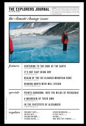
Download Report Here - The Explorers Club
Download Report Here - The Explorers Club
Download Report Here - The Explorers Club

Create successful ePaper yourself
Turn your PDF publications into a flip-book with our unique Google optimized e-Paper software.
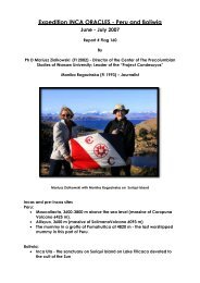
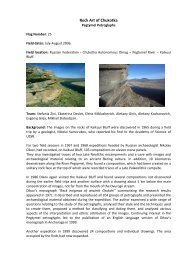
In front of us, up to the northwest, we saw the highest point of the region, a peak that we called<br />
“Último Punto.” We climbed the ridge up to that high point, at an altitude of 3,600 meters, where<br />
we found that the summit was totally covered by another platform, even more asymmetrical in<br />
shape, that had five corners, and was shaped like a squashed bullet, with its point toward the<br />
northeast. This platform was a little shorter than the other, with sides of 10 meters and 9 meters<br />
in length, of 6 meters width on the rear side, and with a wall of 8 meters in length and another of 5<br />
meters meeting at the front to form the “point of the bullet.” It had a height of a little less than one<br />
meter. Its location, at 72 degrees-11 minutes-30 seconds longitude west, by 12 degrees-25<br />
minutes-40 seconds south latitude, overlooked two separate river systems: to the southwest was<br />
the Río Yavero, and to the northeast lay the headwaters of the Río Timpía. Its location seemed<br />
most strategically placed.<br />
We noted that these two platforms constituted the most distant Incan remains yet found directly to<br />
the north of Cusco.<br />
Our return began the next morning, the 16 th of June. We pushed on to the south and southwest,<br />
and we arrived at the settlement of Sacramento, above the sub-tropical Río Yavero, where we<br />
passed the night camped in front of the house of our mule driver, Mario. <strong>The</strong> 17 th of June Paulino<br />
left us early in the morning in order to walk as fast as possible to the town of Quebrada, over the<br />
range of Lares-Lacco in the valley of the Río Yanatile, in order to use the public phone there to<br />
call Cusco and arrange for our vehicle to meet us the following day at the closest frontier point<br />
accessible by dirt road, called Abra Bellavista. <strong>The</strong> rest of us advanced more slowly to the<br />
southwest, crossing a bridge over the Río Yavero, until we reached the small settlement of<br />
Bellavista in the Lares-Lacco range.<br />
<strong>The</strong> next morning, we found a stone chullpa, an above-ground tomb, on a nearby forested<br />
hillside. Its shape was circular, and its stone roof formed by a roughly corbeled vault topped by a<br />
long stone slab. It had a circumference of almost 8 meters, and was in exactly the same style as<br />
the “Chullpas de Ninamarca,” the complex of identical circular tombs to be found in the high area<br />
just south of the famous town of Paucartambo, a totally different area extremely far to our<br />
southeast. And Ninamarca, strangely enough, had been reliably attributed to the pre-Incan<br />
Lupaca culture based in the Lake Titicaca area over a hundred miles away. <strong>The</strong>re were as well<br />
other more typically Incan structures in the surrounding forest.