Chapter 5: Weather
Chapter 5: Weather
Chapter 5: Weather

You also want an ePaper? Increase the reach of your titles
YUMPU automatically turns print PDFs into web optimized ePapers that Google loves.
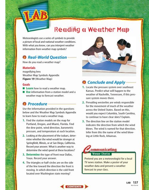
Meteorologists use a series of symbols to provide<br />
a picture of local and national weather conditions.<br />
With what you know, can you interpret weather<br />
information from weather map symbols?<br />
Real-World Question<br />
How do you read a weather map?<br />
Materials<br />
magnifying lens<br />
<strong>Weather</strong> Map Symbols Appendix<br />
Figure 19 (<strong>Weather</strong> Map)<br />
Goals<br />
■ Learn how to read a weather map.<br />
■ Use information from a station model and a<br />
weather map to forecast weather.<br />
Procedure<br />
Use the information provided in the questions<br />
below and the <strong>Weather</strong> Map Symbols Appendix<br />
to learn how to read a weather map.<br />
1. Find the station models on the map for<br />
Portland, Oregon, and Miami, Florida. Find<br />
the dew point, wind direction, barometric<br />
pressure, and temperature at each location.<br />
2. Looking at the placement of the isobars, determine<br />
whether the wind would be stronger at<br />
Springfield, Illinois, or at San Diego, California.<br />
Record your answer. What is another way to<br />
determine the wind speed at these locations?<br />
3. Determine the type of front near Dallas,<br />
Texas. Record your answer.<br />
4. The triangles or half-circles are on the side<br />
of the line toward the direction the front is<br />
moving. In which direction is the cold front<br />
located over Washington state moving?<br />
Reading a <strong>Weather</strong> Map<br />
Conclude and Apply<br />
1. Locate the pressure system over southeast<br />
Kansas. Predict what will happen to the<br />
weather of Nashville, Tennessee, if this pressure<br />
system moves there.<br />
2. Prevailing westerlies are winds responsible<br />
for the movement of much of the weather<br />
across the United States. Based on this,<br />
would you expect Columbia, South Carolina,<br />
to continue to have clear skies? Explain.<br />
3. The direction line on the station model<br />
indicates the direction from which the wind<br />
blows. The wind is named for that direction.<br />
Infer from this the name of the wind blowing<br />
at Little Rock, Arkansas.<br />
Pretend you are a meteorologist for a local<br />
TV news station. Make a poster of your<br />
weather data and present a weather<br />
forecast to your class.<br />
LAB 137<br />
Mark Burnett