

Download - Coordinates
Download - Coordinates
Download - Coordinates

Create successful ePaper yourself
Turn your PDF publications into a flip-book with our unique Google optimized e-Paper software.
satellite completed verification testing and<br />
is now operational. The IIF generation of<br />
satellites improves accuracy through more<br />
advanced atomic clocks. The IIF family of<br />
satellites has a longer design life than the<br />
previous generation of GPS satellites and<br />
it transmits a third civil signal. The new<br />
L5 signal is in the protected Aeronautical<br />
Radionavigation Services (ARNS) band<br />
and is more robust than L1 C/A due to<br />
its higher transmission power, wider<br />
bandwidth and longer spreading codes.<br />
When the constellation is fully populated<br />
with L5 capable satellites, it will improve<br />
performance for aviation, other safetyof-life<br />
and all civil users worldwide.<br />
Just a few<br />
weeks ago, the<br />
Department of<br />
Defense completed<br />
the expansion of the<br />
GPS constellation<br />
into what is called<br />
the “Expandable<br />
24” configuration.<br />
This was a twophased<br />
operation<br />
that took 18 months to complete. The result<br />
is better geometry providing more coverage<br />
to GPS users. The new configuration<br />
increases robustness of satellite availability<br />
and overall signal in space performance.<br />
In addition to continuing to modernize<br />
the satellites, we are simultaneously<br />
improving the command and control<br />
segment of GPS by replacing the legacy<br />
Operational Control Segment with<br />
the GPS Advanced Control Segment<br />
(OCX). The OCX ground system will<br />
bring more automation and will double<br />
the capacity to command and control<br />
satellites. It will be able to handle all the<br />
new civil signals coming on line with<br />
the GPS IIF and the GPS III programs.<br />
Meanwhile we continue to expand and<br />
upgrade our GPS augmentation systems<br />
to further enhance Space-Based PNT<br />
services. For example, use of the FAA’s<br />
Wide Area Augmentation Service<br />
(WAAS) has now expanded to the point<br />
that “Local Performance with Vertical<br />
Guidance” (LPV) approaches more<br />
than double the number of Instrument<br />
Landing System (ILS) approaches.<br />
WAAS-enabled LPV approaches do<br />
not require ground-based transmitters<br />
at airports and eliminate the need for<br />
critical area limitations associated with<br />
an ILS. New WAAS users are emerging<br />
at a rate of more than 1,000 per month.<br />
Meanwhile, a WAAS software upgrade<br />
in November will provide even greater<br />
resiliency to ionospheric distortions,<br />
once again improving the space-based<br />
PNT service for all of our users.<br />
Even a successful program like GPS has its<br />
share of challenges. Recently, our analysts<br />
noticed one of our older GPS satellites,<br />
SVN-30, had a malfunctioning clock<br />
and therefore<br />
was not<br />
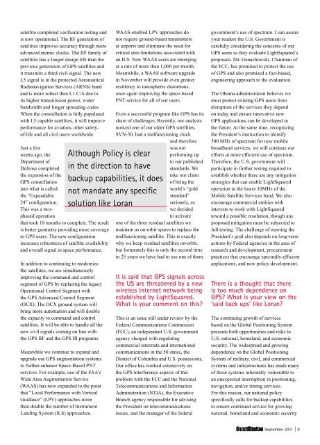
Although Policy is clear<br />
in the direction to have<br />
backup capabilities, it does<br />
not mandate any specific<br />
solution like Loran<br />
performing up<br />
to our published<br />
standards. We<br />
take our claim<br />
of being the<br />
world’s “gold<br />
standard”<br />
seriously, so<br />
we decided<br />
to activate<br />
one of the three residual satellites we<br />
maintain as on-orbit spares to replace the<br />
malfunctioning satellite. This is exactly<br />
why we keep residual satellites on-orbit,<br />
but fortunately this is only the second time<br />
in 25 years we have had to use one of them.<br />
It is said that GPS signals across<br />
the US are threatened by a new<br />
wireless Internet network being<br />
established by LightSquared.<br />
What is your comment on this?<br />
This is an issue still under review by the<br />
Federal Communications Commission<br />
(FCC), an independent U.S. government<br />
agency charged with regulating<br />
commercial interstate and international<br />
communications in the 50 states, the<br />
District of Columbia and U.S. possessions.<br />
Our office has worked extensively on<br />
the GPS interference aspects of this<br />
problem with the FCC and the National<br />
Telecommunications and Information<br />
Administration (NTIA), the Executive<br />
Branch agency responsible for advising<br />
the President on telecommunications<br />
issues, and the manager of the federal<br />
government’s use of spectrum. I can assure<br />
your readers the U.S. Government is<br />
carefully considering the concerns of our<br />
GPS users as they evaluate LightSquared’s<br />
proposals. Mr. Genachowski, Chairman of<br />
the FCC, has promised to protect the use<br />
of GPS and also promised a fact-based,<br />
engineering approach to the evaluation.<br />
The Obama administration believes we<br />
must protect existing GPS users from<br />
disruption of the services they depend<br />
on today and ensure innovative new<br />
GPS applications can be developed in<br />
the future. At the same time, recognizing<br />
the President’s instruction to identify<br />
500 MHz of spectrum for new mobile<br />
broadband services, we will continue our<br />
efforts at more efficient use of spectrum.<br />
Therefore, the U.S. government will<br />
participate in further testing required to<br />
establish whether there are any mitigation<br />
strategies that can enable LightSquared<br />
operation in the lower 10MHz of the<br />
Mobile Satellite Services band. We also<br />
encourage commercial entities with<br />
interests to work with LightSquared<br />
toward a possible resolution, though any<br />
proposed mitigation must be subjected to<br />
full testing. The challenge of meeting the<br />
President’s goal also depends on long-term<br />
actions by Federal agencies in the area of<br />
research and development, procurement<br />
practices that encourage spectrally-efficient<br />
applications, and new policy development.<br />
There is a thought that there<br />
is too much dependence on<br />
GPS? What is your view on the<br />
‘said back ups’ like Loran?<br />
The continuing growth of services<br />
based on the Global Positioning System<br />
presents both opportunities and risks to<br />
U.S. national, homeland, and economic<br />
security. The widespread and growing<br />
dependence on the Global Positioning<br />
System of military, civil, and commercial<br />
systems and infrastructures has made many<br />
of these systems inherently vulnerable to<br />
an unexpected interruption in positioning,<br />
navigation, and/or timing services.<br />
For this reason, our national policy<br />
specifically calls for backup capabilities<br />
to ensure continued service for growing<br />
national, homeland and economic security<br />
September 2011 | 9


