Subsurface Geologic Investigation of Fountain Hills - AZGS ...
Subsurface Geologic Investigation of Fountain Hills - AZGS ...
Subsurface Geologic Investigation of Fountain Hills - AZGS ...
You also want an ePaper? Increase the reach of your titles
YUMPU automatically turns print PDFs into web optimized ePapers that Google loves.
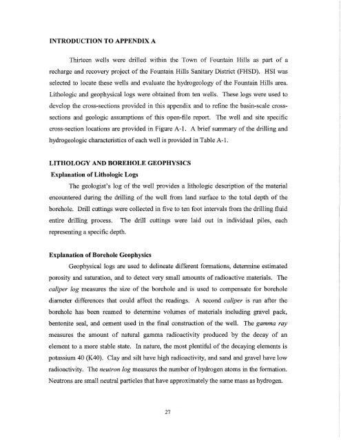
INTRODUCTION TO APPENDIX A<br />
Thirteen wells were drilled within the Town <strong>of</strong> <strong>Fountain</strong> <strong>Hills</strong> as part <strong>of</strong> a<br />
recharge and recovery project <strong>of</strong> the <strong>Fountain</strong> <strong>Hills</strong> Sanitary District (FHSD). HSI was<br />
selected to locate these wells and evaluate the hydrogeology <strong>of</strong> the <strong>Fountain</strong> <strong>Hills</strong> area.<br />
Lithologic and geophysical logs were obtained from ten wells. These logs were used to<br />
develop the cross-sections provided in this appendix and to refine the basin-scale cross<br />
sections and geologic assumptions <strong>of</strong> this open-file report. The well and site specific<br />
cross-section locations are provided in Figure A -1. A brief summary <strong>of</strong> the drilling and<br />
hydrogeologic characteristics <strong>of</strong> each well is provided in Table A-I.<br />
LITHOLOGY AND BOREHOLE GEOPHYSICS<br />
Explanation <strong>of</strong> Lithologic Logs<br />
The geologist's log <strong>of</strong> the well provides a lithologic description <strong>of</strong> the material<br />
encountered during the drilling <strong>of</strong> the well from land surface to the total depth <strong>of</strong> the<br />
borehole. Drill cuttings were collected in five to ten foot intervals from the drilling fluid<br />
entire drilling process. The drill cuttings were laid out in individual piles, each<br />
representing a specific depth.<br />
Explanation <strong>of</strong> Borehole Geophysics<br />
Geophysical logs are used to delineate different formations, determine estimated<br />
porosity and saturation, and to detect very small amounts <strong>of</strong> radioactive materials. The<br />
caliper log measures the size <strong>of</strong> the borehole and is used to compensate for borehole<br />
diameter differences that could affect the readings. A second caliper is run after the<br />
borehole has been reamed to determine volumes <strong>of</strong> materials including gravel pack,<br />
bentonite seal, and cement used in the final construction <strong>of</strong> the well. The gamma ray<br />
measures the amount <strong>of</strong> natural gamma radioactivity produced by the decay <strong>of</strong> an<br />
element to a more stable state. In nature, the most plentiful <strong>of</strong> the decaying elements is<br />
potassium 40 (K40). Clay and silt have high radioactivity, and sand and gravel have low<br />
radioactivity. The neutron log measures the number <strong>of</strong> hydrogen atoms in the formation.<br />
Neutrons are small neutral particles that have approximately the same mass as hydrogen.<br />
27


