BIOPHYSICAL REGIONS - Maine.gov
BIOPHYSICAL REGIONS - Maine.gov
BIOPHYSICAL REGIONS - Maine.gov
You also want an ePaper? Increase the reach of your titles
YUMPU automatically turns print PDFs into web optimized ePapers that Google loves.
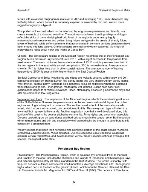
Appendix 7 Biophysical Regions of <strong>Maine</strong><br />
terrain with elevations ranging from sea level to 200’ and averaging 100’. From Sheepscot Bay<br />
to Bailey Island, where bedrock is frequently exposed or covered by thin drift, low but more<br />
rugged topography is typical.<br />
This portion of the coast, which is characterized by long narrow peninsulas and islands, is a<br />
classic example of a drowned coastline. The northeast-southwest trending valleys and ridges<br />
reflect the strike of the underlying bedrock. Most of the region is underlain by highly<br />
metamorphosed sandstones and pelites. Long ridges are typically the crests of sharply folded<br />
layers of bedrock, while softer sediments that accumulated in concave portions (synclines) have<br />
been eroded into long valleys. Granitic plutons are small and widely scattered. Outcrops of<br />
metavolcanic rocks occur north and inland of Casco Bay.<br />
Climate: The temperature regime of the Midcoast Region resembles that of the Penobscot Bay<br />
Region. Mean maximum July temperature is 79° F, with a slight decrease in temperature from<br />
west to east. The mean minimum January temperature of 13° F is slightly warmer than that of<br />
the two regions to the east, while annual precipitation (45”) is noticeably less. Average annual<br />
snowfall (74”) is higher here than in other coastal regions. The average number of heating<br />
degree days (3500) is substantially higher than in the East Coastal Region.<br />
Surficial Geology and Soils: Headlands and ridges are typically covered with shallow (10-20”)<br />
somewhat excessively drained Lyman fine-sandy loams and very shallow Abram sandy loams.<br />
Well-drained, coarse loamy Tunbridge soils generally occur on midslopes where till is derived<br />
from schists and gneiss. Finer grained, moderately well-drained Buxton soils occur over<br />
glaciomarine deposits at middle elevations. Deep, often highly dissected glaciomarine clays and<br />
silts are common in low-lying areas.<br />
Vegetation and Flora: The vegetation of the Midcoast Region reflects the moderating influence<br />
of the Gulf of <strong>Maine</strong>. Summer temperatures are cooler and seasonal rainfall higher than inland<br />
regions and fog is a frequent occurrence. The southernmost extent of the coastal spruce-fir<br />
forest, which occurs in Harpswell, can be attributed to this. This ecosystem type is limited to a<br />
few small but representative stands. Another vegetation type that is well developed along this<br />
portion of the coast is the coastal pitch pine community. Pinus rigida, and a common associate<br />
Corema conradii, grow on sand dunes and bedrock outcrops in the coastal zone. Both moderate<br />
winter temperatures and thin and excessively well-drained soils are thought to contribute to this<br />
ecosystem’s presence here.<br />
Woody species that reach their northern limits along this portion of the coast include Hudsonia<br />
tomentosa, Lonicera dioica, Nyssa sylvatica, Quercus coccinea, Rhus copallina, Sassafras<br />
albidum, Smilax rotundifolia, and Toxicodendron vernix. Woody species richness averages 191<br />
species, the highest in the state.<br />
Penobscot Bay Region<br />
Physiography: The Penobscot Bay Region, which is bounded by Pemaquid Point to the west<br />
and Brooklin to the east, includes the shorelines and islands of Penobscot and Muscongus Bays<br />
and extends approximately 20 miles inland from the Gulf of <strong>Maine</strong>. The terrain is knobby, with<br />
frequent bedrock outcrops and several small mountains. Average elevation is 200’. Topographic<br />
highs, which occur at the tops of the granitic plutons, which form the Camden Hills and the Blue<br />
Hill Peninsula, include Mt. Megunticook (1385’) and Blue Hill (934’). The bedrock of Penobscot<br />
12


