EYAD H. R. FADDA
EYAD H. R. FADDA
EYAD H. R. FADDA
You also want an ePaper? Increase the reach of your titles
YUMPU automatically turns print PDFs into web optimized ePapers that Google loves.
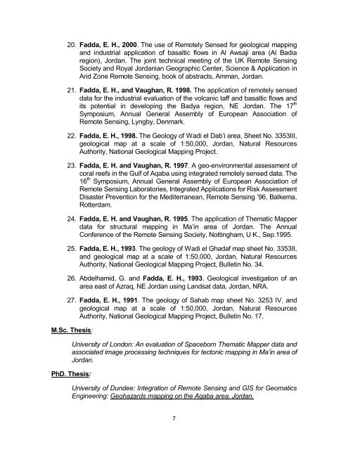
20. Fadda, E. H., 2000. The use of Remotely Sensed for geological mapping<br />
and industrial application of basaltic flows in Al Awsaji area (Al Badia<br />
region), Jordan. The joint technical meeting of the UK Remote Sensing<br />
Society and Royal Jordanian Geographic Center, Science & Application in<br />
Arid Zone Remote Sensing, book of abstracts, Amman, Jordan.<br />
21. Fadda, E. H., and Vaughan, R. 1998. The application of remotely sensed<br />
data for the industrial evaluation of the volcanic taff and basaltic flows and<br />
its potential in developing the Badya region, NE Jordan. The 17 th<br />
Symposium, Annual General Assembly of European Association of<br />
Remote Sensing, Lyngby, Denmark.<br />
22. Fadda, E. H., 1998. The Geology of Wadi el Dab’i area, Sheet No. 3353III,<br />
geological map at a scale of 1:50,000, Jordan, Natural Resources<br />
Authority, National Geological Mapping Project.<br />
23. Fadda, E. H. and Vaughan, R. 1997. A geo-environmental assessment of<br />
coral reefs in the Gulf of Aqaba using integrated remotely sensed data. The<br />
16 th Symposium, Annual General Assembly of European Association of<br />
Remote Sensing Laboratories, Integrated Applications for Risk Assessment<br />
Disaster Prevention for the Mediterranean, Remote Sensing ’96, Balkema,<br />
Rotterdam.<br />
24. Fadda, E. H. and Vaughan, R. 1995. The application of Thematic Mapper<br />
data for structural mapping in Ma’in area of Jordan. The Annual<br />
Conference of the Remote Sensing Society, Nottingham, U K., Sep.1995.<br />
25. Fadda, E. H., 1993. The geology of Wadi el Ghadaf map sheet No. 3353II,<br />
and geological map at a scale of 1:50,000, Jordan, Natural Resources<br />
Authority, National Geological Mapping Project, Bulletin No. 34.<br />
26. Abdelhamid, G. and Fadda, E. H., 1993. Geological investigation of an<br />
area east of Azraq, NE Jordan using Landsat data, Jordan, NRA.<br />
27. Fadda, E. H., 1991. The geology of Sahab map sheet No. 3253 IV, and<br />
geological map at a scale of 1:50,000, Jordan, Natural Resources<br />
Authority, National Geological Mapping Project, Bulletin No. 17.<br />
M.Sc. Thesis:<br />
University of London: An evaluation of Spaceborn Thematic Mapper data and<br />
associated image processing techniques for tectonic mapping in Ma’in area of<br />
Jordan.<br />
PhD. Thesis:<br />
University of Dundee: Integration of Remote Sensing and GIS for Geomatics<br />
Engineering: Geohazards mapping on the Aqaba area, Jordan.<br />
7


