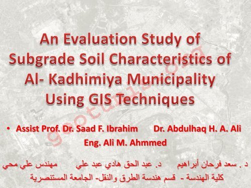
? Assist Prof. Dr. Saad F. Ibrahim Dr. Abdulhaq H. A. Ali Eng. Ali M ...
? Assist Prof. Dr. Saad F. Ibrahim Dr. Abdulhaq H. A. Ali Eng. Ali M ...
? Assist Prof. Dr. Saad F. Ibrahim Dr. Abdulhaq H. A. Ali Eng. Ali M ...

You also want an ePaper? Increase the reach of your titles
YUMPU automatically turns print PDFs into web optimized ePapers that Google loves.
• <strong>Assist</strong> <strong>Prof</strong>. <strong>Dr</strong>. <strong>Saad</strong> F. <strong>Ibrahim</strong><br />
<strong>Eng</strong>. <strong>Ali</strong> M. Ahmmed<br />
<strong>Dr</strong>. <strong>Abdulhaq</strong> H. A. <strong>Ali</strong><br />
geotunis.org<br />
-<br />
د .<br />
سعد فرحان أبراهيم د. عبد الحق هادي عبد علي مهندس علي محي<br />
كلية الهندسة قسم هندسة الطرق والنقل- الجامعة المستنصرية
• The design and evaluation of pavement<br />
structures require a significant amount of<br />
supporting data such as subgrade material<br />
properties.<br />
• Subgrade is the in situ material upon which<br />
the pavement structure is placed or<br />
constructed at selected location.<br />
• The subgrade main function is to withstand<br />
the loading of road pavement above it such<br />
as sub-base, base, etc..<br />
geotunis.org
geotunis.org<br />
Pavement Layers
• In order to save effort, time, and to provide a<br />
quick source of information, the present study<br />
was undertaken to develop thematic digital<br />
maps in order to predict and determine:<br />
1. The important parameters used in highway’s<br />
pavement design, and construction projects.<br />
2. The unsuitable soil materials positions for<br />
subgrade in order to treat or avoid these<br />
areas.<br />
geotunis.org
The study region located in the north west of<br />
Baghdad and its east is a tangent with the<br />
Tigris river ,the whole area is approximately<br />
about (12 km2) as a specific, bounded by the<br />
coordinates (from 436241.45 to 441451.88)<br />
easting and (from 3694694.84 to 3688433.38)<br />
northing in zone (38 N) according to UTM<br />
Projection system.<br />
geotunis.org
Al- Kadhimiya Municipality<br />
geotunis.org
The current research is based on experimental<br />
results taken from soil investigation reports carried<br />
out by (<strong>Eng</strong>ineering Consultancy Bureau-University<br />
of Al-Mustansyria), The reports included soil<br />
investigations for various types of structures<br />
(overpass Bridges, interchanges, commercial<br />
buildings, police station, health centers, etc.). The<br />
total numbers of bore holes in the study area are (8).<br />
The main data was taken from these reports such as<br />
the name, objective of the job, location, depth of<br />
borehole, etc..<br />
geotunis.org
Borehole Location in the<br />
study area<br />
geotunis.org
geotunis.org
geotunis.org
geotunis.org
geotunis.org
•Most of the study area has a range of plasticity index value<br />
between (17-22) so the subgrade soil is medium to high plasticity.<br />
•The general subgrade rating of Al-Kadhimiya is fair to poor in<br />
some places and excellent to good in other places, depending<br />
on (AASHTO) classification.<br />
•The allowable bearing capacity is low so that an improvement<br />
was needed to withstand the external loads.<br />
•The distribution of some of the geotechnical properties studied<br />
showed a wide scatter in the results due to the geotechnical<br />
nature of the soil where the composition and stratification are<br />
non-homogenous because of several geological, hydrological, and<br />
human reasons.<br />
5- The digital geotechnical maps with the aid of GIS techniques<br />
are representative, easy to use, and save time and cost since they<br />
represent the ground truth in a simple manner.<br />
geotunis.org
geotunis.org