RESUME J. Ronald Eastman - Clark University
RESUME J. Ronald Eastman - Clark University
RESUME J. Ronald Eastman - Clark University
Create successful ePaper yourself
Turn your PDF publications into a flip-book with our unique Google optimized e-Paper software.
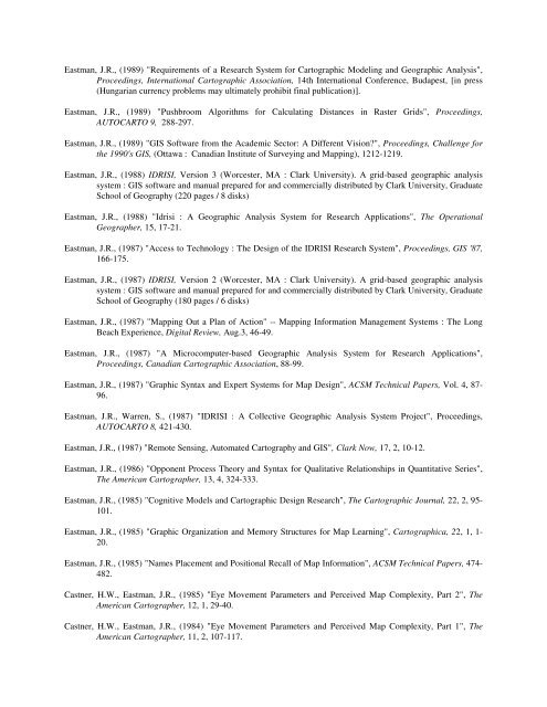
<strong>Eastman</strong>, J.R., (1989) "Requirements of a Research System for Cartographic Modeling and Geographic Analysis",<br />
Proceedings, International Cartographic Association, 14th International Conference, Budapest, [in press<br />
(Hungarian currency problems may ultimately prohibit final publication)].<br />
<strong>Eastman</strong>, J.R., (1989) "Pushbroom Algorithms for Calculating Distances in Raster Grids", Proceedings,<br />
AUTOCARTO 9, 288-297.<br />
<strong>Eastman</strong>, J.R., (1989) "GIS Software from the Academic Sector: A Different Vision?", Proceedings, Challenge for<br />
the 1990's GIS, (Ottawa : Canadian Institute of Surveying and Mapping), 1212-1219.<br />
<strong>Eastman</strong>, J.R., (1988) IDRISI, Version 3 (Worcester, MA : <strong>Clark</strong> <strong>University</strong>). A grid-based geographic analysis<br />
system : GIS software and manual prepared for and commercially distributed by <strong>Clark</strong> <strong>University</strong>, Graduate<br />
School of Geography (220 pages / 8 disks)<br />
<strong>Eastman</strong>, J.R., (1988) "Idrisi : A Geographic Analysis System for Research Applications", The Operational<br />
Geographer, 15, 17-21.<br />
<strong>Eastman</strong>, J.R., (1987) "Access to Technology : The Design of the IDRISI Research System", Proceedings, GIS '87,<br />
166-175.<br />
<strong>Eastman</strong>, J.R., (1987) IDRISI, Version 2 (Worcester, MA : <strong>Clark</strong> <strong>University</strong>). A grid-based geographic analysis<br />
system : GIS software and manual prepared for and commercially distributed by <strong>Clark</strong> <strong>University</strong>, Graduate<br />
School of Geography (180 pages / 6 disks)<br />
<strong>Eastman</strong>, J.R., (1987) "Mapping Out a Plan of Action" -- Mapping Information Management Systems : The Long<br />
Beach Experience, Digital Review, Aug.3, 46-49.<br />
<strong>Eastman</strong>, J.R., (1987) "A Microcomputer-based Geographic Analysis System for Research Applications",<br />
Proceedings, Canadian Cartographic Association, 88-99.<br />
<strong>Eastman</strong>, J.R., (1987) "Graphic Syntax and Expert Systems for Map Design", ACSM Technical Papers, Vol. 4, 87-<br />
96.<br />
<strong>Eastman</strong>, J.R., Warren, S., (1987) "IDRISI : A Collective Geographic Analysis System Project", Proceedings,<br />
AUTOCARTO 8, 421-430.<br />
<strong>Eastman</strong>, J.R., (1987) "Remote Sensing, Automated Cartography and GIS", <strong>Clark</strong> Now, 17, 2, 10-12.<br />
<strong>Eastman</strong>, J.R., (1986) "Opponent Process Theory and Syntax for Qualitative Relationships in Quantitative Series",<br />
The American Cartographer, 13, 4, 324-333.<br />
<strong>Eastman</strong>, J.R., (1985) "Cognitive Models and Cartographic Design Research", The Cartographic Journal, 22, 2, 95-<br />
101.<br />
<strong>Eastman</strong>, J.R., (1985) "Graphic Organization and Memory Structures for Map Learning", Cartographica, 22, 1, 1-<br />
20.<br />
<strong>Eastman</strong>, J.R., (1985) "Names Placement and Positional Recall of Map Information", ACSM Technical Papers, 474-<br />
482.<br />
Castner, H.W., <strong>Eastman</strong>, J.R., (1985) "Eye Movement Parameters and Perceived Map Complexity, Part 2", The<br />
American Cartographer, 12, 1, 29-40.<br />
Castner, H.W., <strong>Eastman</strong>, J.R., (1984) "Eye Movement Parameters and Perceived Map Complexity, Part 1", The<br />
American Cartographer, 11, 2, 107-117.


