

Integrating Spatial Planning and Disaster Risk Reduction at the ...
Integrating Spatial Planning and Disaster Risk Reduction at the ...
Integrating Spatial Planning and Disaster Risk Reduction at the ...

You also want an ePaper? Increase the reach of your titles
YUMPU automatically turns print PDFs into web optimized ePapers that Google loves.
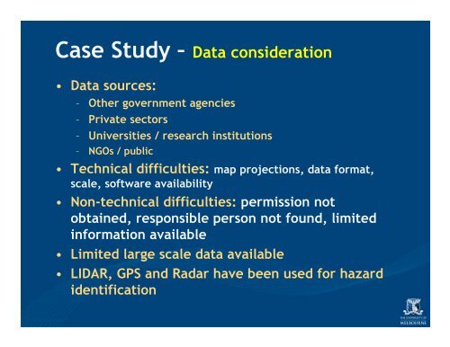
Case Study – D<strong>at</strong>a consider<strong>at</strong>ion<br />
• D<strong>at</strong>a sources:<br />
– O<strong>the</strong>r government agencies<br />
– Priv<strong>at</strong>e sectors<br />
– Universities / research institutions<br />
– NGOs / public<br />
• Technical difficulties: map projections, d<strong>at</strong>a form<strong>at</strong>,<br />
scale, software availability<br />
• Non-technical difficulties: permission not<br />
obtained, responsible person not found, limited<br />
inform<strong>at</strong>ion available<br />
• Limited large scale d<strong>at</strong>a available<br />
• LIDAR, GPS <strong>and</strong> Radar have been used for hazard<br />
identific<strong>at</strong>ion


