Journey of a Raindrop
Journey of a Raindrop
Journey of a Raindrop

You also want an ePaper? Increase the reach of your titles
YUMPU automatically turns print PDFs into web optimized ePapers that Google loves.
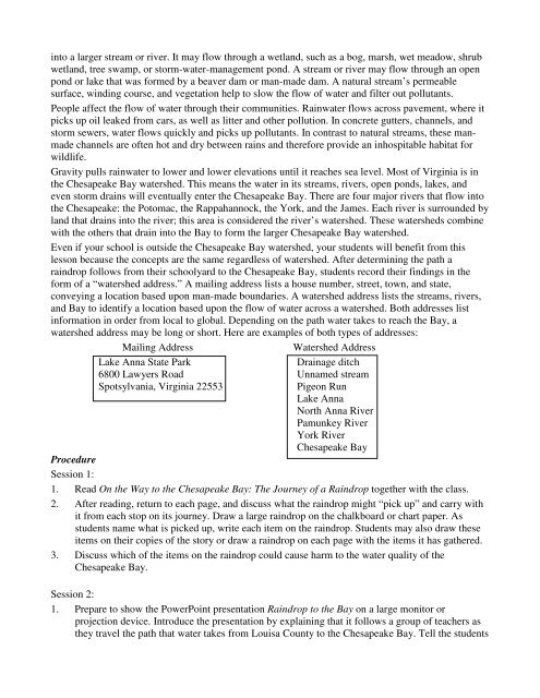
into a larger stream or river. It may flow through a wetland, such as a bog, marsh, wet meadow, shrub<br />
wetland, tree swamp, or storm-water-management pond. A stream or river may flow through an open<br />
pond or lake that was formed by a beaver dam or man-made dam. A natural stream’s permeable<br />
surface, winding course, and vegetation help to slow the flow <strong>of</strong> water and filter out pollutants.<br />
People affect the flow <strong>of</strong> water through their communities. Rainwater flows across pavement, where it<br />
picks up oil leaked from cars, as well as litter and other pollution. In concrete gutters, channels, and<br />
storm sewers, water flows quickly and picks up pollutants. In contrast to natural streams, these manmade<br />
channels are <strong>of</strong>ten hot and dry between rains and therefore provide an inhospitable habitat for<br />
wildlife.<br />
Gravity pulls rainwater to lower and lower elevations until it reaches sea level. Most <strong>of</strong> Virginia is in<br />
the Chesapeake Bay watershed. This means the water in its streams, rivers, open ponds, lakes, and<br />
even storm drains will eventually enter the Chesapeake Bay. There are four major rivers that flow into<br />
the Chesapeake: the Potomac, the Rappahannock, the York, and the James. Each river is surrounded by<br />
land that drains into the river; this area is considered the river’s watershed. These watersheds combine<br />
with the others that drain into the Bay to form the larger Chesapeake Bay watershed.<br />
Even if your school is outside the Chesapeake Bay watershed, your students will benefit from this<br />
lesson because the concepts are the same regardless <strong>of</strong> watershed. After determining the path a<br />
raindrop follows from their schoolyard to the Chesapeake Bay, students record their findings in the<br />
form <strong>of</strong> a “watershed address.” A mailing address lists a house number, street, town, and state,<br />
conveying a location based upon man-made boundaries. A watershed address lists the streams, rivers,<br />
and Bay to identify a location based upon the flow <strong>of</strong> water across a watershed. Both addresses list<br />
information in order from local to global. Depending on the path water takes to reach the Bay, a<br />
watershed address may be long or short. Here are examples <strong>of</strong> both types <strong>of</strong> addresses:<br />
Mailing Address<br />
Watershed Address<br />
Lake Anna State Park<br />
Drainage ditch<br />
6800 Lawyers Road Unnamed stream<br />
Spotsylvania, Virginia 22553<br />
Pigeon Run<br />
Lake Anna<br />
North Anna River<br />
Pamunkey River<br />
York River<br />
Chesapeake Bay<br />
Procedure<br />
Session 1:<br />
1. Read On the Way to the Chesapeake Bay: The <strong>Journey</strong> <strong>of</strong> a <strong>Raindrop</strong> together with the class.<br />
2. After reading, return to each page, and discuss what the raindrop might “pick up” and carry with<br />
it from each stop on its journey. Draw a large raindrop on the chalkboard or chart paper. As<br />
students name what is picked up, write each item on the raindrop. Students may also draw these<br />
items on their copies <strong>of</strong> the story or draw a raindrop on each page with the items it has gathered.<br />
3. Discuss which <strong>of</strong> the items on the raindrop could cause harm to the water quality <strong>of</strong> the<br />
Chesapeake Bay.<br />
Session 2:<br />
1. Prepare to show the PowerPoint presentation <strong>Raindrop</strong> to the Bay on a large monitor or<br />
projection device. Introduce the presentation by explaining that it follows a group <strong>of</strong> teachers as<br />
they travel the path that water takes from Louisa County to the Chesapeake Bay. Tell the students