

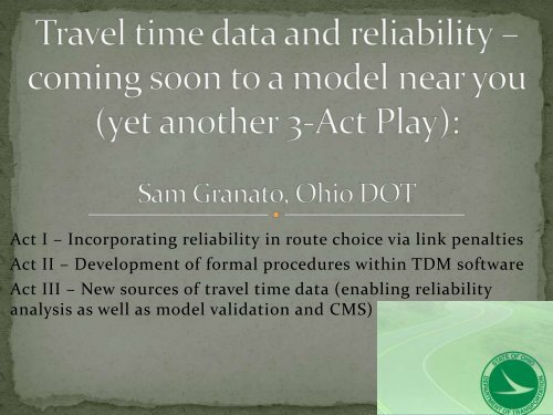
Travel Time Data and Reliability (Act 1) - Sam Granato
Travel Time Data and Reliability (Act 1) - Sam Granato
Travel Time Data and Reliability (Act 1) - Sam Granato

Create successful ePaper yourself
Turn your PDF publications into a flip-book with our unique Google optimized e-Paper software.
<strong>Act</strong> I – Incorporating reliability in route choice via link penalties<br />
<strong>Act</strong> II – Development of formal procedures within TDM software<br />
<strong>Act</strong> III – New sources of travel time data (enabling reliability<br />
analysis as well as model validation <strong>and</strong> CMS)
• Not the average time, but the probability you’ll get<br />
there within . . . . .
• Buffer Index (on<br />
freeways only)<br />
estimates “95 th<br />
Percentile” travel<br />
time
“On the clock”<br />
• Horizontal curvature (per<br />
design guides)<br />
• Vertical grades (rural 2-<br />
lane only per HCM)<br />
• Railroad crossings<br />
• Turns at intersections<br />
beyond HCM calcs (A/D<br />
for movements w/out<br />
conflicts, peds, negate<br />
progression)<br />
“Off the clock”<br />
• At external stations<br />
(spread out destinations)<br />
• At state line (tax<br />
differences & related)<br />
• At freeway on-ramps<br />
(BEE book quote)<br />
• Keeping “through trucks”<br />
on designated routes<br />
• NEW – TRAVEL TIME<br />
RELIABILITY
• CV = -0.56 * ln (average delay in seconds) + 2.82; r^2=.73<br />
• Full corridor variability about 90% less than at individual<br />
intersections, so extra time = .1 * 1.645 (95P) * CV * (t-to)<br />
• Also reviewed Phoenix MPO data to extend into more<br />
congested situations (LOS D-F range), CV stops declining<br />
in D-E range
• Little impact on overall validation vs counts or travel times<br />
• Reduces impact of “worst” intersections
Based on research from motorways across the UK<br />
Allows for “automated” setting of impedances at both<br />
link <strong>and</strong> path level, instead of a “one-off” setting of<br />
penalties based on previous model runs
• Few differences overall due to relative lack of congestion<br />
• Number of Path building iterations has clear impact on<br />
volumes but mixed on validation
• Methods have most impact in delays at the worst<br />
unsignalized approaches
• “Archive” data from vehicle fleets & cell probes<br />
• Extensive road network coverage, could replace or<br />
reduce/redeploy need for “floating car” surveys<br />
• In addition to “real-time” navigation aide, data<br />
history could be used for CMS <strong>and</strong>/or traffic model<br />
validation<br />
• Has “arrived” at national level (via re-vamping of<br />
TTI’s national Mobility report, major vendor’s<br />
“scorecard” report & use by other DOTs & multistate<br />
coalitions)
• Direction of travel<br />
• <strong>Time</strong> of day (hour or period)<br />
• Day of week (each day, or weekday vs weekend)<br />
• Season of year (esp. with weather <strong>and</strong>/or tourism)<br />
• *Vehicle class* (i.e. car vs truck – a considerable<br />
speed difference in some corridors - may not be<br />
feasible yet. Potential for “long haul” vs “mixed<br />
traffic” in short term instead.)
• <strong>Sam</strong>.granato@dot.state.oh.us<br />
• Or 614-644-6796
![ALPR CAMERA [Read-Only] [Compatibility Mode]](https://img.yumpu.com/3361879/1/190x135/alpr-camera-read-only-compatibility-mode.jpg?quality=85)