Chp. 9 Assessment
Chp. 9 Assessment
Chp. 9 Assessment

Create successful ePaper yourself
Turn your PDF publications into a flip-book with our unique Google optimized e-Paper software.
214-215-Chapter9 10/16/02 10:26 AM Page 214<br />
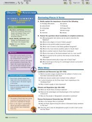
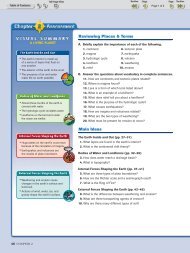
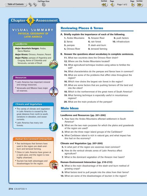
Reviewing Places & Terms<br />
PHYSICAL GEOGRAPHY OF<br />
LATIN AMERICA<br />
Major Mountain Ranges: Andes,<br />
Sierra Madres<br />
Major Rivers: Orinoco, Amazon, Paraná<br />
Major Plains: pampas of Argentina and<br />
Uruguay, llanos of Colombia and<br />
Venezuela, cerrado of Brazil<br />
• Latin America has important mineral<br />
and energy resources.<br />
• Venezuela and Mexico have major<br />
oil reserves.<br />
• The variety of climate and vegetation<br />
in Latin America is caused by the<br />
great distance from north to south,<br />
variations in elevation, and ocean<br />
currents.<br />
• Latin America has many rain<br />
forests.<br />
• Two techniques that farmers have<br />
used in the region are slash-andburn<br />
and terraced farming.<br />
• Cities in Latin America have grown at<br />
a rapid pace, and the region is now<br />
highly urbanized.<br />
• Tourism has both advantages and<br />
disadvantages for the region.<br />
A. Briefly explain the importance of each of the following.<br />
1. Andes Mountains<br />
2. llanos<br />
3. pampas<br />
4. Orinoco River<br />
5. Amazon River<br />
6. rain forest<br />
7. slash-and-burn<br />
8. terraced farming<br />
9. push factors<br />
10. infrastructure<br />
B. Answer the questions about vocabulary in complete sentences.<br />
11. What two countries does the Orinoco River drain?<br />
12. Where are the Andes Mountains located?<br />
13. What agricultural technique involves using ashes to fertilize the<br />
soil?<br />
14. What characteristics do the pampas and llanos have in common?<br />
15. What are some of the problems that afflict cities throughout the<br />
region?<br />
16. Which river drains the largest rain forest in the region?<br />
17. What are some factors that are pushing farmers off the land and<br />
into the cities?<br />
18. Which is the northernmost of the great rivers of South America?<br />
19. What farming technique is especially useful in mountainous<br />
regions?<br />
20. What are the main products of the pampas?<br />
Main Ideas<br />
Landforms and Resources (pp. 201-206)<br />
1. How have the Andes Mountains affected settlement in South<br />
America?<br />
2. What are the two main purposes for which the plains and grasslands<br />
of the region are used?<br />
3. What are the three major island groups of the Caribbean?<br />
4. What Caribbean island is rich in natural gas, and what impact has<br />
this had on the economy?<br />
Climate and Vegetation (pp. 207-209)<br />
5. In what part of the region are savannas most common?<br />
6. How do the vertical climate zones of Latin America affect<br />
agriculture?<br />
7. What is the dominant vegetation of the Amazon river basin?<br />
Human-Environment Interaction (pp. 210-213)<br />
8. What is the main disadvantage of the slash-and-burn method of<br />
growing crops?<br />
9. What factors tend to pull people into the cities from their farms?<br />
10. What are some of the disadvantages of tourism in the region?<br />
214 CHAPTER 9
214-215-Chapter9 10/16/02 10:26 AM Page 215<br />
Critical Thinking<br />
1. Using Your Notes<br />
Use your completed chart to answer these questions.<br />
Landforms<br />
Resources<br />
a. Where are most of the mountains of South America<br />
located?<br />
b. What are some examples of mineral and energy<br />
resources found in abundance in Latin America?<br />
2. Geographic Themes<br />
a. LOCATION Where are some of the largest plains<br />
found in Latin America?<br />
b. REGION What are the settlement patterns of South<br />
America in terms of the interior and the coast?<br />
Geographic Skills: Interpreting Maps<br />
3. Identifying Themes<br />
Based on landforms and climate, which areas of Latin<br />
America would be the least agriculturally productive?<br />
Which of the five themes are reflected in your answer?<br />
4. Drawing Conclusions<br />
What factors must people in the region consider when<br />
they are deciding whether to move from the country to<br />
the city?<br />
5. Making Comparisons<br />
What are some of the advantages and disadvantages of<br />
tourism to a community?<br />
Additional Test Practice,<br />
pp. S1–S37<br />
TEST PRACTICE<br />
CLASSZONE.COM<br />
LATIN AMERICA<br />
The Tributaries of the Amazon<br />
Use the map to answer the following<br />
questions.<br />
1. MOVEMENT In what general direction<br />
do the Amazon and its tributaries flow?<br />
2. PLACE Into which ocean does the<br />
Amazon empty?<br />
3. REGION What countries are drained<br />
by the Amazon and its tributaries?<br />
Create your own sketch map of the<br />
physical geography of Latin America.<br />
Combine the information from this<br />
map with the information from the<br />
landforms map on page 203.<br />
80°W 70°W<br />
60°W<br />
50°W<br />
PANAMA<br />
W<br />
ECUADOR<br />
N<br />
S<br />
Putumayo R.<br />
Marañ ón R.<br />
PERU<br />
E<br />
COLOMBIA<br />
Ucayali<br />
Amazon River basin<br />
0 250 500 miles<br />
0 250 500 kilometers<br />
Azimuthal Equal–Area Projection<br />
R.<br />
Lake<br />
Titicaca<br />
VENEZUELA<br />
Negro R.<br />
Solimões<br />
R.<br />
Purús<br />
BOLIVIA<br />
Branco R.<br />
Manaus<br />
R.<br />
ARGENTINA<br />
GUYANA<br />
Madeira R.<br />
PARAGUAY<br />
Amazon R.<br />
Tapajós R.<br />
SURINAME ATLANTIC<br />
OCEAN<br />
FRENCH<br />
GUIANA (Fr.)<br />
BRAZIL<br />
Xingu R.<br />
Araguaia R.<br />
Equator<br />
Belém<br />
Tocantins R.<br />
Brasília<br />
0°<br />
10°S<br />
20°S<br />
Use the links at classzone.com to do research on the<br />
most rapidly growing cities in Latin America. Focus on<br />
the impact that rapid growth has on the residents of<br />
a city.<br />
Writing About Geography Write a report of your<br />
findings. Include a map that shows the fastest growing<br />
cities. Combine it with a chart that lists common<br />
problems of rapid growth.<br />
From the Andes to the Amazon 215