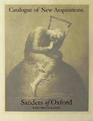
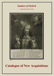
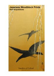
catalogue text.indd - Sanders of Oxford
catalogue text.indd - Sanders of Oxford
catalogue text.indd - Sanders of Oxford

Create successful ePaper yourself
Turn your PDF publications into a flip-book with our unique Google optimized e-Paper software.
87. Insvlarvm Britannicarvm Acurata Delineatio Ex<br />
Geographicis Conatibus Abrahami Ortelii<br />
Copper engraving with hand colouring<br />
Jansson, Jan<br />
c. 1650<br />
Image 387 x 503, Plate 392 x 509 mm, Sheet 441 x 557<br />
mm<br />
framed<br />
Jan Jansson’s ‘Insvlarvm Britannicarvm Acurata Delineatio<br />
Ex Geographicis Conatibus Abrahami Ortelii’, as<br />
the title alludes, was based upon the 1579 map <strong>of</strong> the<br />
British Isles by the Flemish geographer and cartographer<br />
Abraham Ortelius. Ortelius, in turn, based his work upon<br />
the landmark Mercator map <strong>of</strong> the British Isles issued<br />
in 1564. He also augmented the designs <strong>of</strong> Christopher<br />
Saxton and Humphrey Llhuyd.<br />
Unusually oriented to the west, as was the usual case in<br />
the older Ptolemaic models, Jansson’s map is decorated<br />
with several sailing ships and an elaborate cartouche<br />
which bears the title. Three compass roses feature; and<br />
their lines emanate over the surface <strong>of</strong> the map. Drolleries,<br />
or small monsters, appear in the water between<br />
England and Ireland.<br />
Condition: Contains centre fold as issued.<br />
Excellent condition with wide margins.<br />
[29979]<br />
£950<br />
88. The Kingdome <strong>of</strong> England<br />
Copper engraved with early hand colouring<br />
Speed, John<br />
1611<br />
382 x 510 mm<br />
framed<br />
A wonderful example <strong>of</strong> the first edition Speed map <strong>of</strong><br />
England, with excellent early hand colouring.<br />
John Speed’s map <strong>of</strong> the Kingdom <strong>of</strong> England is flanked<br />
by images <strong>of</strong> a nobleman, a gentleman, a citizen, a<br />
country man and their wives. The map was published in<br />
the first edition <strong>of</strong> John Speed’s atlas in 1612 with a plate<br />
engraved by Jodocus Hondius. By 1630 the original plate<br />
had become worn and a new one was engraved by<br />
Abraham Goos and this was amended and updated in<br />
1646. The 1646 date was added at the lower left, and<br />
appeared in editions thereafter.<br />
Condition: Some overall toning to sheet with light stains<br />
to the top right <strong>of</strong> map and the cartouche.<br />
[29739]<br />
£2,500<br />
89. The River Avon from the Severn to the Citty <strong>of</strong><br />
Bristoll<br />
Copper engraved with later hand colouring<br />
Captain Greenville Collins<br />
c. 1693<br />
Image 395 x 915 mm<br />
mounted<br />
Captain Greenville Collins’s chart contains a fine title<br />
cartouche <strong>of</strong> the Avon Gorge being navigated by a sailing<br />
vessel, and the City <strong>of</strong> Bristol. Various ships are depicted<br />
in the water, whilst fathoms and a compass are also<br />
shown. Hachures illustrate relief amonst the coastal line<br />
and topography <strong>of</strong> the map. Most interestingly, the course<br />
<strong>of</strong> the River Avon is inverted, and flows from East to<br />
West, as opposed from West to East.