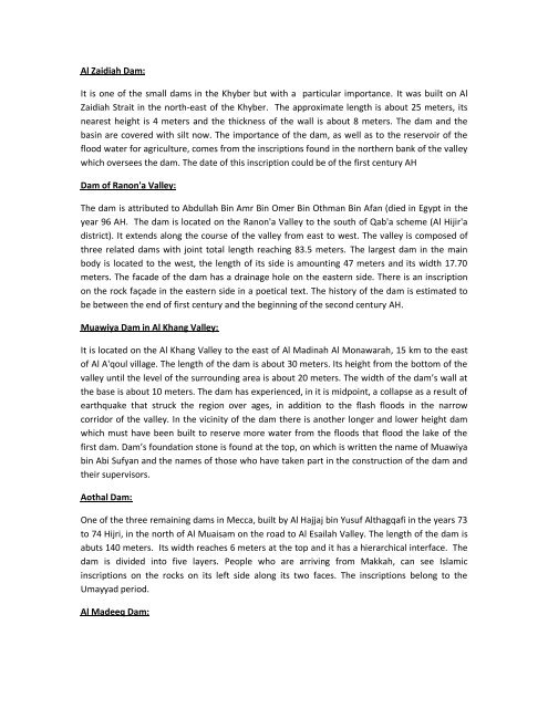
Heritage Dams: The Arabian Peninsula was not characterized by ...
Heritage Dams: The Arabian Peninsula was not characterized by ...
Heritage Dams: The Arabian Peninsula was not characterized by ...

Create successful ePaper yourself
Turn your PDF publications into a flip-book with our unique Google optimized e-Paper software.
Al Zaidiah Dam:<br />
It is one of the small dams in the Khyber but with a particular importance. It <strong>was</strong> built on Al<br />
Zaidiah Strait in the north-east of the Khyber. <strong>The</strong> approximate length is about 25 meters, its<br />
nearest height is 4 meters and the thickness of the wall is about 8 meters. <strong>The</strong> dam and the<br />
basin are covered with silt now. <strong>The</strong> importance of the dam, as well as to the reservoir of the<br />
flood water for agriculture, comes from the inscriptions found in the northern bank of the valley<br />
which oversees the dam. <strong>The</strong> date of this inscription could be of the first century AH<br />
Dam of Ranon'a Valley:<br />
<strong>The</strong> dam is attributed to Abdullah Bin Amr Bin Omer Bin Othman Bin Afan (died in Egypt in the<br />
year 96 AH. <strong>The</strong> dam is located on the Ranon'a Valley to the south of Qab'a scheme (Al Hijir'a<br />
district). It extends along the course of the valley from east to west. <strong>The</strong> valley is composed of<br />
three related dams with joint total length reaching 83.5 meters. <strong>The</strong> largest dam in the main<br />
body is located to the west, the length of its side is amounting 47 meters and its width 17.70<br />
meters. <strong>The</strong> facade of the dam has a drainage hole on the eastern side. <strong>The</strong>re is an inscription<br />
on the rock façade in the eastern side in a poetical text. <strong>The</strong> history of the dam is estimated to<br />
be between the end of first century and the beginning of the second century AH.<br />
Muawiya Dam in Al Khang Valley:<br />
It is located on the Al Khang Valley to the east of Al Madinah Al Monawarah, 15 km to the east<br />
of Al A'qoul village. <strong>The</strong> length of the dam is about 30 meters. Its height from the bottom of the<br />
valley until the level of the surrounding area is about 20 meters. <strong>The</strong> width of the dam’s wall at<br />
the base is about 10 meters. <strong>The</strong> dam has experienced, in it is midpoint, a collapse as a result of<br />
earthquake that struck the region over ages, in addition to the flash floods in the narrow<br />
corridor of the valley. In the vicinity of the dam there is a<strong>not</strong>her longer and lower height dam<br />
which must have been built to reserve more water from the floods that flood the lake of the<br />
first dam. Dam’s foundation stone is found at the top, on which is written the name of Muawiya<br />
bin Abi Sufyan and the names of those who have taken part in the construction of the dam and<br />
their supervisors.<br />
Aothal Dam:<br />
One of the three remaining dams in Mecca, built <strong>by</strong> Al Hajjaj bin Yusuf Althagqafi in the years 73<br />
to 74 Hijri, in the north of Al Muaisam on the road to Al Esailah Valley. <strong>The</strong> length of the dam is<br />
abuts 140 meters. Its width reaches 6 meters at the top and it has a hierarchical interface. <strong>The</strong><br />
dam is divided into five layers. People who are arriving from Makkah, can see Islamic<br />
inscriptions on the rocks on its left side along its two faces. <strong>The</strong> inscriptions belong to the<br />
Umayyad period.<br />
Al Madeeq Dam: