Payments for Ecosystem Services: Getting Started. A Primer - UNEP
Payments for Ecosystem Services: Getting Started. A Primer - UNEP
Payments for Ecosystem Services: Getting Started. A Primer - UNEP
You also want an ePaper? Increase the reach of your titles
YUMPU automatically turns print PDFs into web optimized ePapers that Google loves.
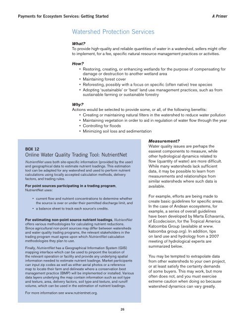
<strong>Payments</strong> <strong>for</strong> <strong>Ecosystem</strong> <strong>Services</strong>: <strong>Getting</strong> <strong>Started</strong><br />
A <strong>Primer</strong><br />
Watershed Protection <strong>Services</strong><br />
What?<br />
To provide high-quality and reliable quantities of water in a watershed, sellers might offer<br />
to implement, <strong>for</strong> a fee, specifi c natural resource management practices or activities.<br />
How?<br />
• Restoring, creating, or enhancing wetlands <strong>for</strong> the purpose of compensating <strong>for</strong><br />
damage or destruction to another wetland area<br />
• Maintaining <strong>for</strong>est cover<br />
• Re<strong>for</strong>esting, possibly with a focus on specifi c (often native) tree species<br />
• Adopting ‘sustainable’ or ‘best’ land use management practices, such as from<br />
sustainable farming or sustainable <strong>for</strong>estry<br />
Why?<br />
Actions would be selected to provide some, or all, of the following benefi ts:<br />
• Creating or maintaining natural fi lters in the watershed to reduce water pollution<br />
• Maintaining vegetation in order to aid in regulation of water fl ow through the year<br />
• Controlling <strong>for</strong> fl oods<br />
• Minimizing soil loss and sedimentation<br />
BOX 12<br />
Online Water Quality Trading Tool: NutrientNet<br />
NutrientNet uses both site-specifi c in<strong>for</strong>mation (provided by the user)<br />
and geographical data to estimate nutrient loadings. This estimation<br />
tool can be adapted <strong>for</strong> any watershed and used to per<strong>for</strong>m nutrient<br />
calculations using locally accepted calculation methods, delivery<br />
factors, and trading rules.<br />
For point sources participating in a trading program,<br />
NutrientNet uses:<br />
• current fl ow and nutrient concentrations to determine whether<br />
the source is over or under their permitted discharge limit, and<br />
• a balance sheet to track each source’s credits.<br />
For estimating non-point source nutrient loadings, NutrientNet<br />
offers various methodologies <strong>for</strong> calculating nutrient reductions.<br />
Since agricultural non-point sources may differ between watersheds<br />
and water quality trading programs, the relevant stakeholders in the<br />
trading program must agree upon which NutrientNet calculation<br />
methodologies they plan to use.<br />
Finally, NutrientNet has a Geographical In<strong>for</strong>mation System (GIS)<br />
mapping interface which can be used to pinpoint the location of<br />
the relevant operation or facility and provide any underlying spatial<br />
in<strong>for</strong>mation needed to estimate nutrient loadings. Market participants<br />
can input zip codes as well as either aerial photos or a reference<br />
map to locate their farm and delineate where a conservation best<br />
management practice (BMP) will be implemented or installed. Various<br />
data layers underlying the map contain in<strong>for</strong>mation such as soil type<br />
and texture, area, delivery factors, soil type and texture, and runoff<br />
volume, which can be used in the estimation of nutrient loadings.<br />
For more in<strong>for</strong>mation see www.nutrientnet.org.<br />
Measurement?<br />
Water quality issues are perhaps the<br />
easiest components to measure, while<br />
other hydrological dynamics related to<br />
fl ow (quantity of water) are more diffi cult.<br />
While many watersheds lack suffi cient<br />
data, it may be possible to learn from<br />
measurements and relationships from<br />
similar watersheds where such data is<br />
available.<br />
For example, ef<strong>for</strong>ts are being made to<br />
create basic guidelines <strong>for</strong> specifi c areas.<br />
In the case of Andean ecosystems, <strong>for</strong><br />
example, a series of overall guidelines<br />
have been developed by Marta Echavarria,<br />
of Ecodecision, <strong>for</strong> the Tropical America<br />
Katoomba Group (available at www.<br />
katoomba group.org). In addition, tips<br />
on land use and hydrology from a 2007<br />
meeting of hydrological experts are<br />
summarized below.<br />
You may be tempted to extrapolate data<br />
from other watersheds to your own project,<br />
or at least satisfy the certainty demands<br />
of some buyers. This may work, but more<br />
often does not, and you must exercise<br />
extreme caution when doing so because<br />
watershed dynamics can vary greatly.<br />
26


