Cycling strategy - Blackburn with Darwen Borough Council
Cycling strategy - Blackburn with Darwen Borough Council
Cycling strategy - Blackburn with Darwen Borough Council

Create successful ePaper yourself
Turn your PDF publications into a flip-book with our unique Google optimized e-Paper software.
<strong>Blackburn</strong> <strong>with</strong> <strong>Darwen</strong> <strong>Cycling</strong> Strategy<br />
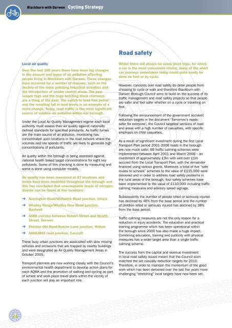
Road safety<br />
Local air quality<br />
Over the last 100 years there have been big changes<br />
in the amount and types of air pollution affecting<br />
people living in <strong>Blackburn</strong> <strong>with</strong> <strong>Darwen</strong>. These changes<br />
have occurred for a number of reasons, such as the<br />
decline of the more polluting industrial activities and<br />
the introduction of smoke control areas. The peasouper<br />
fogs and the huge belching black chimneys<br />
are a thing of the past. The switch to lead free petrol<br />
and the resulting fall in lead levels is an example of a<br />
more change. Today, road traffic is the most significant<br />
source of outdoor air pollution <strong>with</strong>in our borough.<br />
Under the Local Air Quality Management regime each local<br />
authority must assess their air quality against nationally<br />
defi ned standards for specifi ed pollutants. As traffi c fumes<br />
are the main source of air pollution, monitoring has<br />
concentrated upon locations in the road network where the<br />
volumes and low speeds of traffi c are likely to generate high<br />
concentrations of pollutants.<br />
Air quality <strong>with</strong>in the borough is being assessed against<br />
national health based target concentrations for eight key<br />
pollutants. Some of this checking is done by measuring and<br />
some is done using computer models.<br />
Air quality has been measured at 87 locations and<br />
levels have been modelled throughout the borough and<br />
this has concluded that unacceptable levels of nitrogen<br />
dioxide can be found at five locations:<br />
➔ Accrington Road/Whitebirk Road junction, Intack<br />
➔ Whalley Range/Whalley New Road junction,<br />
Bastwell<br />
➔ A666 corridor between Robert Street and Wraith<br />
Street, <strong>Darwen</strong><br />
➔ Preston Old Road/Buncer Lane junction, Witton<br />
➔ A666/M65 road junction, Earcroft<br />
These busy urban junctions are associated <strong>with</strong> slow moving<br />
vehicles and emissions that are trapped by nearby buildings<br />
and were designated as Air Quality Management Areas in<br />
October 2005.<br />
Transport planners are now working closely <strong>with</strong> the <strong>Council</strong>’s<br />
environmental health department to develop action plans for<br />
each AQMA and the promotion of walking and cycling as part<br />
of school and work place travel plans <strong>with</strong>in the vicinity of<br />
each junction will play an important role.<br />
Whilst there will always be some short trips, for which<br />
a car is the most convenient choice, many of the short<br />
car journeys undertaken today could quite easily be<br />
done on foot or by cycle.<br />
However, concerns over road safety do deter people from<br />
choosing to cycle or walk and therefore <strong>Blackburn</strong> <strong>with</strong><br />
<strong>Darwen</strong> <strong>Borough</strong> <strong>Council</strong> aims to build on the success of its<br />
traffi c management and road safety projects so that people<br />
are safer and feel safer whether on a cycle or travelling on<br />
foot.<br />
Following the announcement of the government accident<br />
reduction targets in the document ‘Tomorrow’s roads:<br />
safer for everyone’, the <strong>Council</strong> targeted sections of road<br />
and areas <strong>with</strong> a high number of casualties, <strong>with</strong> specifi c<br />
emphasis on child casualties.<br />
As a result of signifi cant investment during the fi rst Local<br />
Transport Plan period 2001-2006 roads in the borough<br />
are now much safer. 69 traffi c calming schemes were<br />
implemented between April 2001 and March 2006 – an<br />
investment of approximately £3m <strong>with</strong> well over £1m<br />
secured from the Local Transport Plan, <strong>with</strong> the remainder<br />
fi nanced using various grants. Moreover, a total of fi ve “safe<br />
routes to schools” schemes to the value of £115,000 were<br />
delivered and in order to address road safety problems in<br />
the rural areas of the borough, four safety schemes have<br />
been implemented to the value of £110,000 including traffi c<br />
calming measures and advisory speed signage.<br />
Subsequently the number of people killed or seriously injured<br />
has declined by 46% from the base period and the number<br />
of children killed or seriously injured has declined by 38%<br />
from the base period.<br />
Traffi c calming measures are not the only reason for a<br />
reduction in injury accidents. The education and practical<br />
training programme which has been operational <strong>with</strong>in<br />
the borough since 2000 has also made a huge impact.<br />
Combining education, training and publicity <strong>with</strong> physical<br />
measures has a wider target area than a single traffi c<br />
calming scheme.<br />
The success from the capital and revenue investment<br />
in local road safety issues meant that the <strong>Council</strong> soon<br />
matched the set casualty reduction targets for 2010.<br />
Therefore, in order to maintain the momentum of the good<br />
work which has been delivered over the last fi ve years more<br />
challenging “stretching” local targets have now been set.<br />
26