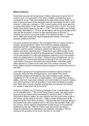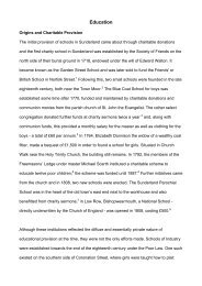
Swyncombe intro - Victoria County History
Swyncombe intro - Victoria County History
Swyncombe intro - Victoria County History

Create successful ePaper yourself
Turn your PDF publications into a flip-book with our unique Google optimized e-Paper software.
VCH Oxfordshire • Texts in Progress • <strong>Swyncombe</strong> (Apr. 2012) • © University of London • p. 8<br />
additional cottages were built on the edges of commons or in the woods. 52 A lodge<br />
existed in Ewelme Park probably from the early 15th century, when the park was first<br />
created, and in the early 17th century it was briefly superseded by a short-lived but<br />
exceptionally large mansion house. Coates (or Bacon) Farm was established by the<br />
16th century, and possibly from the Middle Ages. 53<br />
In the mid 19th century Park Corner (including Digberry Lane) remained the<br />
largest of the hamlets, with around 25 of the parish’s 80 houses. Cookley Green and<br />
Russell’s Water each contained around 18 households, while the remainder lay<br />
dispersed at <strong>Swyncombe</strong> House, the rectory house, Ewelme Park, Lower Farm,<br />
Coates Farm, Seymour Green, and Down Cottages. 54 Thereafter the settlement<br />
pattern remained largely unchanged, the number of houses increasing only to 85<br />
until the boundary changes of 1952. 55 Subsequent decades witnessed relatively little<br />
new development. 56<br />
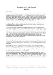
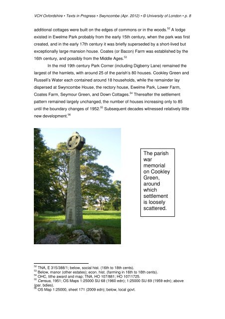
The parish<br />
war<br />
memorial<br />
on Cookley<br />
Green,<br />
around<br />
which<br />
settlement<br />
is loosely<br />
scattered.<br />
52 TNA, E 315/388/1; below, social hist. (16th to 18th cents).<br />
53 Below, manor (other estates); econ. hist. (farming in 16th to 18th cents).<br />
54 OHC, tithe award and map; TNA, HO 107/881; HO 107/1725.<br />
55 Census, 1951; OS Maps 1:25000 SU 68 (1960 edn); 1:25000 SU 69 (1959 edn); above<br />
(par. bdies).<br />
56 OS Map 1:25000, sheet 171 (2009 edn); below, local govt.