Volume 4, 1951 - The Arctic Circle - Home
Volume 4, 1951 - The Arctic Circle - Home
Volume 4, 1951 - The Arctic Circle - Home
Create successful ePaper yourself
Turn your PDF publications into a flip-book with our unique Google optimized e-Paper software.
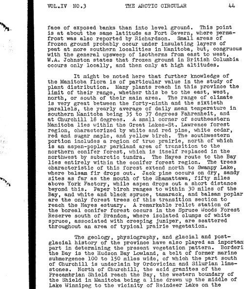
face of exposed banks than into level ground. This point<br />
is at about the same latitude as Fort Severn, where permafrost<br />
was also reported by Richardson. Small areas of<br />
frozen ground probably occur under insulating layers of<br />
peat at more southern localities in Manitoba, but, congruous<br />
with the general upsweep of isotherms from eastto west,<br />
W.A. Johnston states that frozen ground in British Columbia<br />
occurs only locally, and then only at high altitudes.<br />
It might be noted here that further knowledge of<br />
the Manitoba flora is of particular value in the study of<br />
plant distribution. Many plants reach in this province the<br />
limit of their range, whether this be to the east, west,<br />
north, or south of their main area. <strong>The</strong> range of climate<br />
is very great between the forty-ninth and the sixtieth<br />
parallels, the yearly average of daily mean temperature in<br />
southern Manitoba being 35 to 37 degrees Fahrenheit, and<br />
at Churchill 18 degrees. A small corner of southeastern<br />
Manitoba lies within the Great Lakes-St. Lawrence forest<br />
region, characterized by white and red pine, white cedar,<br />
red and sugar maple, and yellow birch. <strong>The</strong> southwestern<br />
portion includes a region of true prairie, north of which<br />
is an aspen-poplar parkland area of transition to the<br />
northern conifer forest, v1hich is itself replaced in the<br />
northvfest by subarctic tundra. <strong>The</strong> Hayes route to the Bay<br />
lies entirely within the conifer forest region. <strong>The</strong> trees<br />
characteristic of this forest extend north to Swampy Lake,<br />
where bals am fir drops out. Jack pine occurs on dry, sandy<br />
sites as far as the mouth of the Shamattawa, fifty miles<br />
above York Factory, while aspen drops out a short distance<br />
beyond this. Paper birch ranges to within 30 miles of the<br />
Bay, and white and black spruce, tamarack, and balsam poplar<br />
are the only forest trees of this transition section to<br />
reach the Hayes estuary. A remarkable relict station of<br />
the boreal conifer forest occurs in the Spruce Vfoods Forest<br />
Reserve south of Brandon, where isolated clumps of white<br />
spruce, associated with creeping juniper, are scattered<br />
throughout an area of typical prairie vegetation.<br />
<strong>The</strong> geology, physiography, and glacial and postglacial<br />
history of the province have also played an importan"<br />
part in determining the present vegetation pattern. BorderiJ<br />
the Bay is the Hudson Bay Lowland, a belt of former marine<br />
submergenoe 100 to 150 miles wide, of which the part south<br />
of Churchill is underlain by Ordovician and Silurian limestones.<br />
North of Churchill, the acid granites of the<br />
Precambrian Shield reach the Bay, the western boundary of<br />
the Shield in Manitoba being a line drawn up the middle of<br />
Lake Winnipeg to the vicinity of Reindeer Lake on the


