Lecture 3: Total Station and GPS Surveys
Lecture 3: Total Station and GPS Surveys
Lecture 3: Total Station and GPS Surveys
SHOW LESS

You also want an ePaper? Increase the reach of your titles
YUMPU automatically turns print PDFs into web optimized ePapers that Google loves.
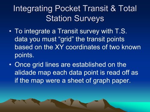
Integrating Pocket Transit & <strong>Total</strong><br />
<strong>Station</strong> <strong>Surveys</strong><br />
• To integrate a Transit survey with T.S.<br />
data you must “grid” the transit points<br />
based on the XY coordinates of two known<br />
points.<br />
• Once grid lines are established on the<br />
alidade map each data point is read off as<br />
if the map were a sheet of graph paper.