

Presentation of SMHI Map Services - Open Geospatial Consortium
Presentation of SMHI Map Services - Open Geospatial Consortium
Presentation of SMHI Map Services - Open Geospatial Consortium

You also want an ePaper? Increase the reach of your titles
YUMPU automatically turns print PDFs into web optimized ePapers that Google loves.
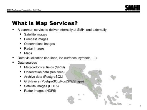
<strong>SMHI</strong> <strong>Map</strong> Service <strong>Presentation</strong> - Met Office<br />
What is <strong>Map</strong> <strong>Services</strong><br />
• A common service to deliver internally at <strong>SMHI</strong> and externally<br />
• Satellite images<br />
• Forecast images<br />
• Observations images<br />
• Radar images<br />
• <strong>Map</strong>s<br />
• Data visualisation (iso-lines, iso-surfaces, symbols, …)<br />
• Data sources<br />
• Meteorological fields (GRIB)<br />
• Observation data (real time)<br />
• Archive data (PostgreSQL)<br />
• GIS-layers (PostgreSQL/PostGIS/Shape)<br />
• Satellite images (HDF5)<br />
• Radar images (HDF5)<br />
6