Delination of response Functions - Plurel
Delination of response Functions - Plurel
Delination of response Functions - Plurel
- No tags were found...

Create successful ePaper yourself
Turn your PDF publications into a flip-book with our unique Google optimized e-Paper software.
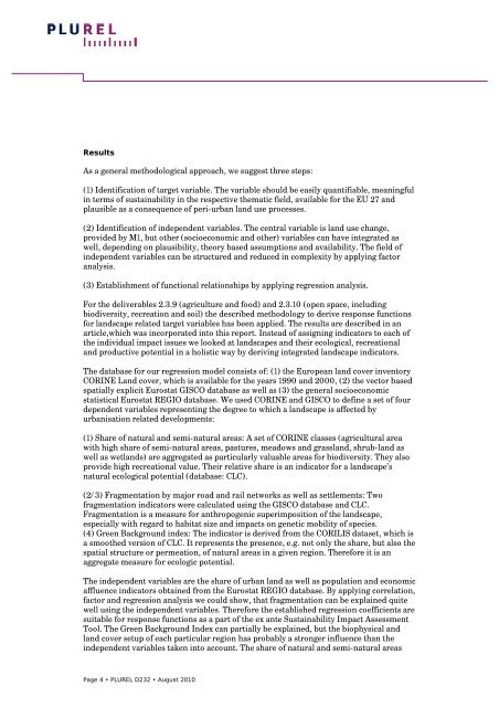
Results<br />
As a general methodological approach, we suggest three steps:<br />
(1) Identification <strong>of</strong> target variable. The variable should be easily quantifiable, meaningful<br />
in terms <strong>of</strong> sustainability in the respective thematic field, available for the EU 27 and<br />
plausible as a consequence <strong>of</strong> peri-urban land use processes.<br />
(2) Identification <strong>of</strong> independent variables. The central variable is land use change,<br />
provided by M1, but other (socioeconomic and other) variables can have integrated as<br />
well, depending on plausibility, theory based assumptions and availability. The field <strong>of</strong><br />
independent variables can be structured and reduced in complexity by applying factor<br />
analysis.<br />
(3) Establishment <strong>of</strong> functional relationships by applying regression analysis.<br />
For the deliverables 2.3.9 (agriculture and food) and 2.3.10 (open space, including<br />
biodiversity, recreation and soil) the described methodology to derive <strong>response</strong> functions<br />
for landscape related target variables has been applied. The results are described in an<br />
article,which was incorporated into this report. Instead <strong>of</strong> assigning indicators to each <strong>of</strong><br />
the individual impact issues we looked at landscapes and their ecological, recreational<br />
and productive potential in a holistic way by deriving integrated landscape indicators.<br />
The database for our regression model consists <strong>of</strong>: (1) the European land cover inventory<br />
CORINE Land cover, which is available for the years 1990 and 2000, (2) the vector based<br />
spatially explicit Eurostat GISCO database as well as (3) the general socioeconomic<br />
statistical Eurostat REGIO database. We used CORINE and GISCO to define a set <strong>of</strong> four<br />
dependent variables representing the degree to which a landscape is affected by<br />
urbanisation related developments:<br />
(1) Share <strong>of</strong> natural and semi-natural areas: A set <strong>of</strong> CORINE classes (agricultural area<br />
with high share <strong>of</strong> semi-natural areas, pastures, meadows and grassland, shrub-land as<br />
well as wetlands) are aggregated as particularly valuable areas for biodiversity. They also<br />
provide high recreational value. Their relative share is an indicator for a landscape’s<br />
natural ecological potential (database: CLC).<br />
(2/3) Fragmentation by major road and rail networks as well as settlements: Two<br />
fragmentation indicators were calculated using the GISCO database and CLC.<br />
Fragmentation is a measure for anthropogenic superimposition <strong>of</strong> the landscape,<br />
especially with regard to habitat size and impacts on genetic mobility <strong>of</strong> species.<br />
(4) Green Background index: The indicator is derived from the CORILIS dataset, which is<br />
a smoothed version <strong>of</strong> CLC. It represents the presence, e.g. not only the share, but also the<br />
spatial structure or permeation, <strong>of</strong> natural areas in a given region. Therefore it is an<br />
aggregate measure for ecologic potential.<br />
The independent variables are the share <strong>of</strong> urban land as well as population and economic<br />
affluence indicators obtained from the Eurostat REGIO database. By applying correlation,<br />
factor and regression analysis we could show, that fragmentation can be explained quite<br />
well using the independent variables. Therefore the established regression coefficients are<br />
suitable for <strong>response</strong> functions as a part <strong>of</strong> the ex ante Sustainability Impact Assessment<br />
Tool. The Green Background Index can partially be explained, but the biophysical and<br />
land cover setup <strong>of</strong> each particular region has probably a stronger influence than the<br />
independent variables taken into account. The share <strong>of</strong> natural and semi-natural areas<br />
Page 4 • PLUREL D232 • August 2010