Faughart Lower 5 Final Report - ASI Louth
Faughart Lower 5 Final Report - ASI Louth
Faughart Lower 5 Final Report - ASI Louth

You also want an ePaper? Increase the reach of your titles
YUMPU automatically turns print PDFs into web optimized ePapers that Google loves.
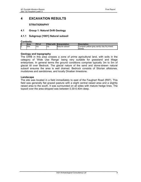
M1 Dundalk Western Bypass<br />
Site 132 <strong>Faughart</strong> <strong>Lower</strong> 5<br />
<strong>Final</strong> <strong>Report</strong><br />
4 EXCAVATION RESULTS<br />
STRATIGRAPHY<br />
4.1 Group 1: Natural Drift Geology<br />
4.1.1 Subgroup {1001} Natural subsoil<br />
Contexts:<br />
C Area Fill of Filled with Interpretation Description<br />
2 Site n/a n/a Natural subsoil Compact yellow-grey sandy clay frq mixed<br />
stones.<br />
Geology and topography<br />
The DWB in this area crosses a zone of prime agricultural land, with soils in the<br />
category of ‘Wide Use Range’ being very suitable for grassland and tillage<br />
enterprises. In general terms the ground conditions comprise typically 3m to 5m of<br />
glacial till over Bedrock. The glacial nature of the sand and stone-strewn natural<br />
subsoil ensures the area is well drained. Bedrock consists of Silurian siltstones,<br />
mudstones and sandstones, and locally Dinatian limestone.<br />
Landscape<br />
The site was located in a field immediately to east of the <strong>Faughart</strong> Road (R97). This<br />
field was generally flat grazed pasture with a slight central raised area and a slightly<br />
raised area to the south. It was surrounded on all sides with mature hedge lines. The<br />
topsoil over the area stripped was between 0.30-0.40m deep.<br />
Irish Archaeological Consultancy Ltd 9