Full version, low resolution, 7.5MB - InterRidge
Full version, low resolution, 7.5MB - InterRidge
Full version, low resolution, 7.5MB - InterRidge

Create successful ePaper yourself
Turn your PDF publications into a flip-book with our unique Google optimized e-Paper software.
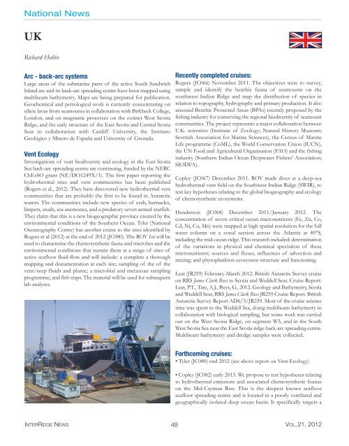
National News<br />
UK<br />
Richard Hobbs<br />
Arc - back-arc systems<br />
Large areas of the submarine parts of the active South Sandwich<br />
Island arc and its back-arc spreading centre have been mapped using<br />
multibeam bathymetry. Maps are being prepared for publication.<br />
Geochemical and petrological work is currently concentrating on<br />
silicic lavas from seamounts in collaboration with Birkbeck College,<br />
London, and on magmatic processes on the extinct West Scotia<br />
Ridge, and the early structure of the East Scotia and Central Scotia<br />
Seas in collaboration with Cardiff University, the Instituto<br />
Geológico y Minero de España and University of Grenada.<br />
Vent Ecology<br />
Investigations of vent biodiversity and ecology in the East Scotia<br />
Sea back-arc spreading centre are continuing, funded by the NERC<br />
ChEsSO grant (NE/DO1249X/1). The first paper reporting the<br />
hydrothermal sites and vent communities has been published<br />
(Rogers et al., 2012). They have discovered new hydrothermal vent<br />
communities that are probably the first to be found in Antarctic<br />
waters. The communities include new species of crab, barnacles,<br />
limpets, snails, sea anemones, and a predatory seven armed starfish.<br />
They claim that this is a new biogeographic province created by the<br />
environmental conditions of the Southern Ocean. Tyler (National<br />
Oceanography Centre) has another cruise to the sites identified by<br />
Rogers et al (2012) at the end of 2012 (JC080). The ROV Isis will be<br />
used to characterise the chemosynthetic fauna and microbes and the<br />
environmental conditions that sustain them at a range of sites of<br />
active seafloor fluid-f<strong>low</strong> and will include: a complete a thorough<br />
mapping and documentation at each site; sampling of the of the<br />
vent/seep fluids and plume; a microbial and metazoan sampling<br />
programme; and fish traps. The material will be used for subsequent<br />
lab analyses.<br />
Recently completed cruises:<br />
Rogers (JC066) November 2011. The objectives were to survey,<br />
sample and identify the benthic fauna of seamounts on the<br />
southwest Indian Ridge and map the distribution of species in<br />
relation to topography, hydrography and primary production. It also<br />
assessed Benthic Protected Areas (BPAs) recently proposed by the<br />
fishing industry for conserving the regional biodiversity of seamount<br />
communities. The project represents a major collaboration between<br />
U.K. scientists (Institute of Zoology; Natural History Museum;<br />
Scottish Association for Marine Sciences), the Census of Marine<br />
Life programme (CoML), the World Conservation Union (IUCN),<br />
the UN Food and Agricultural Organisation (FAO) and the fishing<br />
industry (Southern Indian Ocean Deepwater Fishers’ Association;<br />
SIODFA).<br />
Copley (JC067) December 2011. ROV made dives at a deep-sea<br />
hydrothermal vent field on the Southwest Indian Ridge (SWIR), to<br />
test key hypotheses relating to the global biogeography and ecology<br />
of chemosynthetic ecosystems.<br />
Henderson (JC068) December 2011/January 2012. The<br />
concentration of seven critical ocean micronutrients (Fe, Zn, Co,<br />
Cd, Ni, Cu, Mn) were mapped at high spatial <strong>resolution</strong> for the full<br />
water column on a zonal section across the Atlantic at 40°S,<br />
including the mid-ocean ridge. This research included: determination<br />
of the variations in physical and chemical speciation of these<br />
micronutrients; sources and fluxes, influences of advection and<br />
mixing; and phytoplankton ecosystem structure and functioning.<br />
Leat (JR259) February-March 2012. British Antarctic Survey cruise<br />
on RRS James Clark Ross to Scotia and Weddell Seas. Cruise Report:<br />
Leat, P.T., Tate, A.J., Buys, G., 2012. Geology and Bathymetry, Scotia<br />
and Weddell Seas, RRS James Clark Ross JR259 Cruise Report. British<br />
Antarctic Survey Report AD6/3/JR259. Most of the cruise science<br />
time was spent in the Weddell Sea, doing multibeam bathymetry in<br />
collaboration with biological sampling, but some work was carried<br />
out on the West Scotia Ridge, on segment W5, and in the South<br />
West Scotia Sea near the East Scotia ridge back-arc spreading centre.<br />
Multibeam bathymetry and dredge samples were collected.<br />
Forthcoming cruises:<br />
• Tyler (JC080) end 2012 (see above report on Vent Ecology)<br />
• Copley (JC082) early 2013. We propose to test hypotheses relating<br />
to hydrothermal emissions and associated chemosynthetic faunas<br />
on the Mid-Cayman Rise. This is the deepest known seafloor<br />
seafloor spreading centre and is located in a poorly ventilated and<br />
geographically isolated deep ocean basin. It specifically targets a<br />
INTERRIDGE NEWS 48 VOL.21, 2012