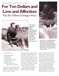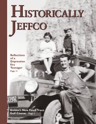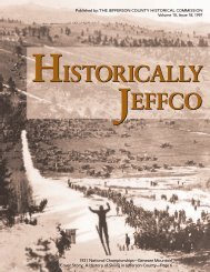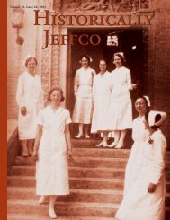
2003: Volume 16, Issue 24 - Historic Jeffco
2003: Volume 16, Issue 24 - Historic Jeffco
2003: Volume 16, Issue 24 - Historic Jeffco

You also want an ePaper? Increase the reach of your titles
YUMPU automatically turns print PDFs into web optimized ePapers that Google loves.
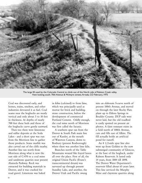
The large fill used by the Colorado Central to climb out of the North side of Ralston Creek valley.<br />
View looking south. 70th Avenue & McIntyre streets.Arvada, CO February, 1975<br />
Coal was discovered early, and<br />
homes, trains, smelters, and other<br />
industries devoured it as fuel. Coal<br />
seams near the hogbacks are nearly<br />
vertical and only about 5 to 10 feet<br />
in thickness. At depths of nearly<br />
700 feet these beds and those of<br />
the hogbacks curve gently eastward.<br />
Then too there were limestone<br />
and sulfur deposits at the Soda<br />
Lakes - and a short spur was run<br />
from the Morrison line to gather<br />
those products. Some marble was<br />
also carved out of the cliffs nearby.<br />
Another line ran north from<br />
Morrison along what is now the<br />
east side of C-470 to a coal mine<br />
and sandstone quarries near present<br />
Alameda Parkway. Rock was<br />
extracted for building materials in<br />
Denver, and it was crushed for<br />
road gravel. Limestone was baked<br />
-6-<br />
in kilns (calcined) to form lime,<br />
which was principally used as<br />
mortar for brick and buildingstone<br />
construction, before the<br />
development of commercial<br />
Portland Cement. Oddly enough,<br />
the coal mine north of Morrison<br />
was first called the Satanic.<br />
A southern spur ran from the<br />
Denver & South Park main line<br />
out of Kassler, at the mouth<br />
of Waterton Canyon, down to<br />
Roxbury (present Roxborough)<br />
where there was another lime kiln.<br />
Branches north of the Table<br />
Mountains wound like frayed lassos<br />
all over the place. First of all, the<br />
original Union Pacific (Evans’s<br />
transcontinental dream) was<br />
surveyed up through present<br />
Standley Lake, and another, the<br />
Denver Utah and Pacific swung<br />
into an elaborate S-curve north of<br />
present 100th Avenue, and moved<br />
on through the later Rocky Flats<br />
plant up to Eldora Springs in<br />
Boulder County. DUP rails were<br />
never laid, but the old roadbed<br />
is easily spotted on present air<br />
photos. A faint remnant exists in<br />
a field north of 100th Avenue,<br />
cuts and fills east of Alkire. The<br />
fill actually holds an artificial<br />
pond for runoff.<br />
An 8 1/2-mile spur line also<br />
went up from Golden to the now<br />
submerged community of Glencoe,<br />
at the base of the hogback, under<br />
Ralston Reservoir. It lasted only<br />
14 years, from 1884 till 1898.<br />
The Denver Water Department’s<br />
reservoir filled about 65 years later.<br />
This line serviced the Murphy<br />
Mine and claystone quarries along