Year 8 Geography Revision Guide
Year 8 Geography Revision Guide
Year 8 Geography Revision Guide
Create successful ePaper yourself
Turn your PDF publications into a flip-book with our unique Google optimized e-Paper software.
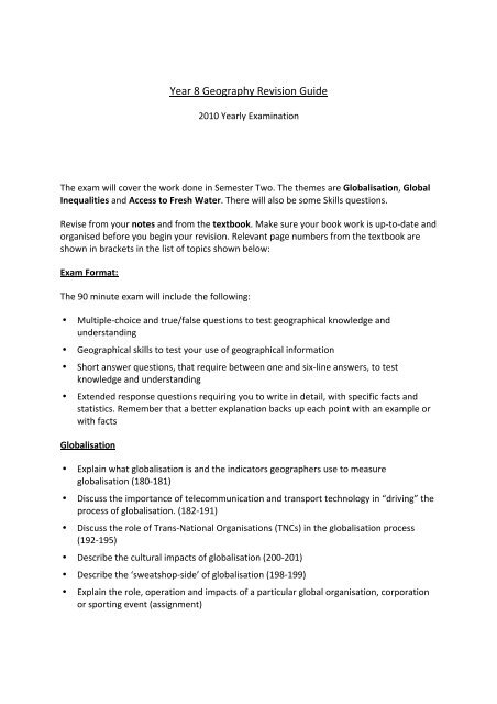
<strong>Year</strong> 8 <strong>Geography</strong> <strong>Revision</strong> <strong>Guide</strong> <br />
2010 <strong>Year</strong>ly Examination <br />
The exam will cover the work done in Semester Two. The themes are Globalisation, Global <br />
Inequalities and Access to Fresh Water. There will also be some Skills questions. <br />
Revise from your notes and from the textbook. Make sure your book work is up-‐to-‐date and <br />
organised before you begin your revision. Relevant page numbers from the textbook are <br />
shown in brackets in the list of topics shown below: <br />
Exam Format: <br />
The 90 minute exam will include the following: <br />
• Multiple-‐choice and true/false questions to test geographical knowledge and <br />
understanding <br />
• Geographical skills to test your use of geographical information <br />
• Short answer questions, that require between one and six-‐line answers, to test <br />
knowledge and understanding <br />
• Extended response questions requiring you to write in detail, with specific facts and <br />
statistics. Remember that a better explanation backs up each point with an example or <br />
with facts <br />
Globalisation <br />
• Explain what globalisation is and the indicators geographers use to measure <br />
globalisation (180-‐181) <br />
• Discuss the importance of telecommunication and transport technology in “driving” the <br />
process of globalisation. (182-‐191) <br />
• Discuss the role of Trans-‐National Organisations (TNCs) in the globalisation process <br />
(192-‐195) <br />
• Describe the cultural impacts of globalisation (200-‐201) <br />
• Describe the ‘sweatshop-‐side’ of globalisation (198-‐199) <br />
• Explain the role, operation and impacts of a particular global organisation, corporation <br />
or sporting event (assignment)
Global inequalities <br />
• Describe different ways of measuring development and inequality e.g. the Human <br />
Development Index, Infant Mortality Rate, GDP per capita, Life Expectancy etc. (216-‐219 <br />
& 220-‐221) <br />
• Describe the differences between rich, developed countries and poor, developing <br />
countries (216 & 208-‐211) <br />
• Describe the consequences of inequality such as: differences in housing, access to <br />
health care, education, gender opportunity and access to fresh water (218-‐219, 220-‐<br />
221, 224-‐225) <br />
• Describe in detail, a case study of a developing country such as Equatorial Guinea, <br />
including the extent of inequality and poverty. Explain how a corrupt government <br />
affects the development of a country and its people (notes) <br />
• Identify and describe the progress of the United Nations Millennium Development <br />
Goals (222-‐223) <br />
• Describe the roles of government aid (ODA) and non-‐government aid in supporting <br />
developing countries (223-‐227) <br />
Access to Fresh Water <br />
• Identify the different parts of the water cycle and how it works (15 & 151) <br />
• Recognise the importance of water (248) <br />
• Identify water use (248-‐249) <br />
• Identify inequalities in access to quantity and quality of fresh water (206-‐207) <br />
• Identify areas of and reasons for water scarcity (250) <br />
• Identify the causes, symptoms, effects and treatments of water-‐related diseases Water <br />
and health (258-‐259 <br />
• Explain the problems associated with poor quality, or lack of access to fresh water, <br />
including the causes, symptoms, effects and treatments of water-‐related diseases (206-‐<br />
207 & 258-‐259) <br />
Geographical Skills <br />
• Drawing and/or interpreting choropleth maps, scattergraphs and cartoons <br />
• Reading and interpreting tables and graphs that show indicators of development <br />
• Using world maps to show global patterns of development, direction, distance, latitude <br />
and longitude (32-‐33 & 36) <br />
• Reading and interpreting topographic maps (10-‐13) <br />
What should you bring to the examination? <br />
Study notes, pens, pencil, eraser, ruler, calculator, stapler


