Ancient Sparta – Geography
Ancient Sparta – Geography
Ancient Sparta – Geography
- No tags were found...

You also want an ePaper? Increase the reach of your titles
YUMPU automatically turns print PDFs into web optimized ePapers that Google loves.
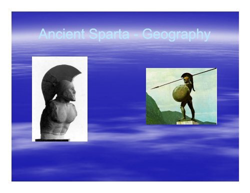
<strong>Ancient</strong> <strong>Sparta</strong> - <strong>Geography</strong>
Who were the <strong>Sparta</strong>ns?• 1600-1000BC1000BC <strong>–</strong> Mycenaean civilisation• Trojan War• 11 th Century BC <strong>–</strong> Dorian invasion<strong>–</strong> Military skill<strong>–</strong> Iron weapons• Settled in Laconia• Eurotas River• Herakleidai <strong>–</strong> foundation myth
The Foundation of <strong>Sparta</strong>• By 10 th Century BC - Doric settlements inEurotas valley• 9 th Century BC <strong>–</strong> 5 villages joined togetherthto make city of <strong>Sparta</strong>• By 750BC <strong>–</strong> <strong>Sparta</strong> needed more land<strong>–</strong> c.735-716BC 716BC <strong>–</strong> First Messenian War<strong>–</strong> c. 640-620BC620BC <strong>–</strong> Second Messenian War
The Geographical Setting
ResourcesStonePorphyryMarbleMinerals& OresIronCopper & tinLead & clayFood &AnimalCropsSheep, goats, pigs,Chickens, bees,hare and wild boar
The Site of <strong>Sparta</strong>• Eurotas River valley• Four komai (villages):<strong>–</strong> Limnai<strong>–</strong> Pitana<strong>–</strong> Kynosoura<strong>–</strong> Mesoa• Polis formed• Amyklai added• Lakonia/Lakedaimonians
• Visit google maps and look at thetopographical images of the area around<strong>Sparta</strong> and Laconia. Note the protectionafforded by the mountains.