3. PLAN IMPLEMENTATION - Lassen County
3. PLAN IMPLEMENTATION - Lassen County
3. PLAN IMPLEMENTATION - Lassen County
You also want an ePaper? Increase the reach of your titles
YUMPU automatically turns print PDFs into web optimized ePapers that Google loves.
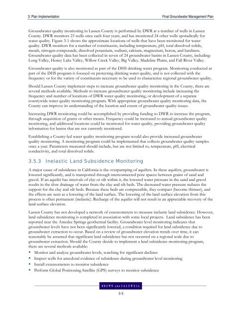
3: Plan Implementation Final Groundwater Management PlanGroundwater quality monitoring in <strong>Lassen</strong> <strong>County</strong> is performed by DWR at a number of wells in <strong>Lassen</strong><strong>County</strong>. DWR monitors 23 wells once each four years, and has monitored 24 other wells sporadically forwater quality. Figure 3-1 shows the approximate locations of wells that have been monitored for waterquality. DWR monitors for a number of constituents, including temperature, pH, total dissolved solids,metals, nitrogen compounds, dissolved potassium, sodium, calcium, magnesium, boron, and hardness.Groundwater quality data has been collected in seven of 24 groundwater basins in <strong>Lassen</strong> <strong>County</strong>, including:Long Valley, Honey Lake Valley, Willow Creek Valley, Big Valley, Madeline Plains, and Fall River Valley.Groundwater quality is also monitored as part of the DHS drinking water program. Monitoring conducted aspart of the DHS program is focused on protecting drinking water quality, and is not collected with thefrequency or for the variety of constituents necessary to be used to characterize regional groundwater quality.Should <strong>Lassen</strong> <strong>County</strong> implement steps to increase groundwater quality monitoring in the <strong>County</strong>, there areseveral methods available. Methods to increase groundwater quality monitoring include increasing thefrequency and number of locations of DWR water quality monitoring, or development of a separatecountywide water quality monitoring program. With appropriate groundwater quality monitoring data, the<strong>County</strong> can improve its understanding of the location and extent of groundwater quality issues.Increasing DWR monitoring could be accomplished by providing funding to DWR to increase the program,through acquisition of grants or other means. Frequency could be increased to annual groundwater qualitymonitoring, and additional locations could be monitored for water quality, providing groundwater qualityinformation for basins that are not currently monitored.Establishing a <strong>County</strong>-led water quality monitoring program would also provide increased groundwaterquality monitoring. A monitoring program could be implemented that collects groundwater quality samplesonce a year. Parameters measured should include, but are not limited to, temperature, pH, electricalconductivity, and total dissolved solids.<strong>3.</strong>5.3 Inelastic Land Subsidence MonitoringA major cause of subsidence in California is the overpumping of aquifers. In these aquifers, groundwater islowered significantly, and is transported through interconnected pore spaces between grains of sand andgravel. If an aquifer has intervals of clay or silt within it, the lowered water pressure in the sand and gravelresults in the slow drainage of water from the clay and silt beds. The decreased water pressure reduces thesupport for the clay and silt beds. Because these beds are compressible, they compact (become thinner), andthe effects are seen as a lowering of the land surface. The lowering of the land surface elevation from thisprocess is often permanent (inelastic). Recharge of the aquifer will not result in an appreciable recovery of theland-surface elevation.<strong>Lassen</strong> <strong>County</strong> has not developed a network of extensometers to measure inelastic land subsidence. However,land subsidence monitoring is completed in association with some local projects. Land subsidence has beenreported near the Amedee Springs geothermal facility. Groundwater level monitoring indicates thatgroundwater levels have not been significantly lowered, a condition required for land subsidence due togroundwater extraction to occur. Based on a review of groundwater elevation trends over time, it canreasonably be assumed that significant land subsidence has not occurred on a regional scale due togroundwater extraction. Should the <strong>County</strong> decide to implement a land subsidence monitoring program,there are several methods available:• Monitor and analyze groundwater levels, watching for significant declines• Inspect wells for anecdotal evidence of subsidence during groundwater level monitoring• Install extensometers to monitor subsidence• Perform Global Positioning Satellite (GPS) surveys to monitor subsidence3-5


