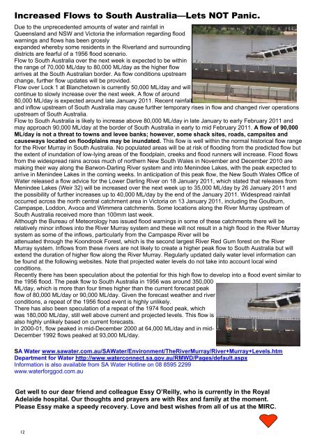
Morgan Scenic Cruises - Morgan, South Australia
Morgan Scenic Cruises - Morgan, South Australia
Morgan Scenic Cruises - Morgan, South Australia

Create successful ePaper yourself
Turn your PDF publications into a flip-book with our unique Google optimized e-Paper software.
Increased Flows to <strong>South</strong> <strong>Australia</strong>—Lets NOT Panic.<br />
Due to the unprecedented amounts of water and rainfall in<br />
12<br />
Queensland and NSW and Victoria the information regarding flood<br />
warnings and flows has been grossly<br />
expanded whereby some residents in the Riverland and surrounding<br />
districts are fearful of a 1956 flood scenario.<br />
Flow to <strong>South</strong> <strong>Australia</strong> over the next week is expected to be within<br />
the range of 70,000 ML/day to 80,000 ML/day as the higher flow<br />
arrives at the <strong>South</strong> <strong>Australia</strong>n border. As flow conditions upstream<br />
change, further flow updates will be provided.<br />
Flow over Lock 1 at Blanchetown is currently 50,000 ML/day and will<br />
continue to slowly increase over the next week. A flow of around<br />
80,000 ML/day is expected around late January 2011. Recent rainfall<br />
and inflow upstream of <strong>South</strong> <strong>Australia</strong> may cause further temporary rises in flow and changed river operations<br />
upstream of <strong>South</strong> <strong>Australia</strong>.<br />
Flow to <strong>South</strong> <strong>Australia</strong> is likely to increase above 80,000 ML/day in late January to early February 2011 and<br />
may approach 90,000 ML/day at the border of <strong>South</strong> <strong>Australia</strong> in early to mid February 2011. A flow of 90,000<br />
ML/day is not a threat to towns and levee banks; however, some shack sites, roads, campsites and<br />
causeways located on floodplains may be inundated. This flow is well within the normal historical flow range<br />
for the River Murray in <strong>South</strong> <strong>Australia</strong>. No populated areas will be at risk of flooding from the predicted flow but<br />
the extent of inundation of low-lying areas of the floodplain, creeks and flood runners will increase. Flood flows<br />
from the widespread rains across much of northern New <strong>South</strong> Wales in November and December 2010 are<br />
making their way along the Barwon-Darling River system and into Menindee Lakes, with the peak expected to<br />
arrive in Menindee Lakes in the coming weeks. In anticipation of this peak flow, the New <strong>South</strong> Wales Office of<br />
Water released a flow advice for the Lower Darling River on 18 January 2011, which stated that releases from<br />
Menindee Lakes (Weir 32) will be increased over the next week up to 35,000 ML/day by 26 January 2011 and<br />
the possibility of further increases up to 40,000 ML/day by the end of the January 2011. Widespread rainfall<br />
occurred across the north central catchment area in Victoria on 13 January 2011, including the Goulburn,<br />
Campaspe, Loddon, Avoca and Wimmera catchments. Some locations along the River Murray upstream of<br />
<strong>South</strong> <strong>Australia</strong> received more than 100mm last week.<br />
Although the Bureau of Meteorology has issued flood warnings in some of these catchments there will be<br />
relatively minor inflows into the River Murray system and these will not result in a high flood in the River Murray<br />
system as some of the inflows, particularly from the Campaspe River will be<br />
attenuated through the Koondrook Forest, which is the second largest River Red Gum forest on the River<br />
Murray system. Inflows from these rivers are not likely to create a higher peak flow to <strong>South</strong> <strong>Australia</strong> but will<br />
extend the duration of higher flow along the River Murray. Regularly updated daily water level information can<br />
be found at the following websites. Note that projected water levels do not take into account local wind<br />
conditions.<br />
Recently there has been speculation about the potential for this high flow to develop into a flood event similar to<br />
the 1956 flood. The peak flow to <strong>South</strong> <strong>Australia</strong> in 1956 was around 350,000<br />
ML/day, which is more than four times higher than the current forecast peak<br />
flow of 80,000 ML/day or 90,000 ML/day. Given the forecast weather and river<br />
conditions, a repeat of the 1956 flood event is highly unlikely.<br />
There has also been speculation of a repeat of the 1974 flood peak, which<br />
was 180,000 ML/day, still well above current and projected levels. This flow is<br />
also highly unlikely based on current forecasts.<br />
In 2000-01, flow peaked in mid-December 2000 at 64,000 ML/day and in mid-<br />
December 1992 flows peaked at 93,000 ML/day.<br />
SA Water www.sawater.com.au/SAWater/Environment/TheRiverMurray/River+Murray+Levels.htm<br />
Department for Water http://www.waterconnect.sa.gov.au/RMWD/Pages/default.aspx<br />
Information is also available from SA Water Hotline on 08 8595 2299<br />
www.waterforggod.com.au<br />
Get well to our dear friend and colleague Essy O’Reilly, who is currently in the Royal<br />
Adelaide hospital. Our thoughts and prayers are with Rex and family at the moment.<br />
Please Essy make a speedy recovery. Love and best wishes from all of us at the MIRC.<br />
12