

Killurin.pdf - Offaly County Council
Killurin.pdf - Offaly County Council
Killurin.pdf - Offaly County Council
- No tags were found...

Create successful ePaper yourself
Turn your PDF publications into a flip-book with our unique Google optimized e-Paper software.
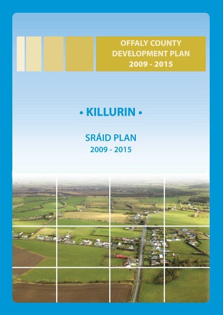
OFFALY COUNTY DEVELOPMENT PLAN 2009 - 2015Volume 2 - Settlement PlansKILLURIN SRÁID PLAN2.2 Waste WaterEffluent is treated on individual sites by individualtreatment facilities and is likely to continue as such inthe development of this sraid, except in the limitedcases where in-depth development is appropriate[Refer to Volume 1, Chapter 7].2.3 Other Servicesa) Social and Community InfrastructureA GAA pitch and associated facilities are situated at theheart of this sraid envelope.1.0 GENERAL INTRODUCTION ANDDEVELOPMENT CONTEXT1.1 Location<strong>Killurin</strong> is a small rural settlement located on the R421 tothe southwest of the town of Tullamore. The name<strong>Killurin</strong> is an anglicised version of the name “Cill Urin”, aChurch that once stood to northwest of the existingsettlement. <strong>Killurin</strong> is located approximately 8kmsouthwest Tullamore and 8km west of the village ofKilleigh. It is estimated that the current populationwithin the sraid envelope is approximately 120- 140persons.1.2 Settlement FormThe settlement at <strong>Killurin</strong> is pre-dominantly linear innature. The <strong>Killurin</strong> GAA facilities have created a centrepoint around which the settlement has developed.The sraid envelope currently comprises a number ofhouses on large sites, and a small number offarmsteads. These houses have developed outwardsalong the R421 and the constituent routes.1.3 TopographyPredominantly level lands.2.0 SERVICES AND SOCIALINFRASTRUCTURE2.1 Water SupplyThis area is currently serviced by the Killeigh /Cloneygowan / <strong>Killurin</strong> Private Group Water SupplyScheme. Consent to the provision of a water supply willbe required as part of planning permissions granted.Furthermore, a small number of local enterprises arealso situated within this area and its immediateenvirons, including a small garage and a signagemanufacturers.The settlement of <strong>Killurin</strong> is located within the Parish ofKilleigh and residents primarily utilise the RomanCatholic Church in the village of Killeigh. Residents alsoattend the national schools at Killeigh and in Tullamoretown.b) Roads and Transport InfrastructureThe speed limit within this sraid is currently 60kmh (and50kmph on some of the smaller local roads surroundingthe settlement).c) FootpathsThere is currently an extensive and well-maintainednetwork of footpaths within the settlement. Any newdevelopment should make provision for themaintenance and, where necessary, extension of thisnetwork of footpaths.d) LightingThere is currently limited public lighting within the sraidenvelope. It is envisaged that the public lighting servicecould be expanded as the settlement expands.2.4 Other Features• Attractive approach to the settlement – maturetrees and hedgerow.• Extensive woodland to the northwest of the‘sraid’ – Clonad Wood (National Heritage Area)• Sites and Monuments Record – cluster of 5recorded monuments at the site of ‘Cill Urin’• An attractive and comprehensive network ofhedgerows is contained within the settlement of<strong>Killurin</strong>. Their presence contributes significantlyFebruary 2009 | <strong>Killurin</strong> Sráid Plan | page 288
OFFALY COUNTY DEVELOPMENT PLAN 2009 - 2015Volume 2 - Settlement Plansto the attractiveness and rural character anddistinctiveness of this sraid. It is the <strong>Council</strong>’spolicy to preserve and protect these hedgerows,insofar as is possible.• Traditional old-style water pump along the mainroad through the settlement. This historic featureis in a poor state of repair. The restoration of thewater pump shall be encouraged as it would beattractive feature within the centre of the sraidenvelope.3.0 KEY MESSAGES FOR KILLURINa) <strong>Killurin</strong> shall be developed in a properly plannedand coherent manner, with the GAA facilitiesremaining as the focal point. This sraid’s settingshall be retained and enhanced in accordancewith appropriately designed and very sensitivedevelopment.b) Emphasis on development close to the centre ofthe sraid with limited extension of thedevelopment further along the R421.c) The promotion of very low-density linear orclustered style development within theenvelope.d) The conservation and integration into newdevelopment of existing stone walls, trees andnative hedgerows, and promotion of similarmaterials for new boundaries.e) High quality designs, which are particularlyreflective of the predominantly rural character ofthe area, without precluding high qualityinnovative contemporary designs.f) Promotion of natural building and boundarymaterials.4.0 GENERAL DEVELOPMENTOBJECTIVES4.1 Approx. total no. population envisagedThe sraid envelope could accommodate approximately50-60 dwellings, however moderate growth levels willbe encouraged.4.2 Allowable Units Per AnnumVery small numbers per annum. In permitting take-upof dwellings, the <strong>Council</strong> will have regard to the totalnumber envisaged over the plan period. Someflexibility may be necessary when any major works arerequired to open up backland sites, although theaquifer protection zone will restrict development in thisregard.4.3 Prioritiesa) Promotion and consolidation of developmentwithin the sraid shown on the accompanyingplan.b) Encourage the provision of new access points toundeveloped backlands.c) Encourage the creation of a public recreation /amenity space at the centre of the sraidenvelope, in proximity to the GAA grounds.d) Enhancement of local infrastructure along allroutes within the enclosed settlement (i.e. publiclighting, footpaths).e) Encourage and facilitate co-operation between /amongst the different development interests inorder to maximise community gain, for thegreater good of the settlement.f) The conservation and integration into newdevelopment of existing stone walls, trees andnative hedgerows, and promotion of similarmaterials for new boundaries.4.4 Shape and FormAny new development within the envelope should bebased upon a considered understanding of the area’scharacter and shall be designed and located in such away that sympathetically reflects and respects the area’svery rural character.4.5 Style / Character<strong>Killurin</strong> is a rural settlement and small-scaledevelopment which is reflective of its rural characteronly will be permitted.5.0 SPECIFIC DEVELOPMENTOBJECTIVES5.1 Amenities (Open Space)There is no civic open space provided within thesettlement at <strong>Killurin</strong> at present. However, the presenceof the existing GAA facilities within the centre of thesraid provides amenity value.5.2 Trees and BoundariesMature hedgerows where possible should beFebruary 2009 | <strong>Killurin</strong> Sráid Plan | page 289
February 2009 | <strong>Killurin</strong> Sráid Plan | page 291


