Lummi Indian Business Council - EISs for the Proposed Gateway ...
Lummi Indian Business Council - EISs for the Proposed Gateway ...
Lummi Indian Business Council - EISs for the Proposed Gateway ...

Create successful ePaper yourself
Turn your PDF publications into a flip-book with our unique Google optimized e-Paper software.
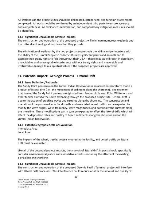
All wetlands on <strong>the</strong> projects sites should be delineated, categorized, and function assessmentscompleted. All work should be confirmed by an independent third party to ensure accuracyand completeness. All avoidance, minimization, and compensatory mitigation measures shouldbe identified.13.3 Significant Unavoidable Adverse ImpactsThe construction and operation of <strong>the</strong> proposed projects will eliminate numerous wetlands and<strong>the</strong> cultural and ecological functions that <strong>the</strong>y provide.The elimination of wetlands by <strong>the</strong> two projects can preclude <strong>the</strong> ability and/or interfere with<strong>the</strong> ability of <strong>the</strong> <strong>Lummi</strong> People to collect culturally significant plants and animals and toexercise <strong>the</strong>ir treaty rights to fish throughout <strong>the</strong>ir U&A – <strong>the</strong>se impacts will result in significant,unavoidable, and unacceptable interference with our treaty rights and irreversible andirretrievable damage to our spiritual values if <strong>the</strong> proposed projects are approved.14 Potential Impact: Geologic Process – Littoral Drift14.1 Issue Definition/Rationale:The Sandy Point peninsula on <strong>the</strong> <strong>Lummi</strong> <strong>Indian</strong> Reservation is an accretion shore<strong>for</strong>m that is aproduct of littoral drift (i.e., <strong>the</strong> movement of sediment along <strong>the</strong> shoreline). The sedimentthat <strong>for</strong>med <strong>the</strong> Sandy Point peninsula originated from feeder bluffs near Point Whitehorn ando<strong>the</strong>r feeder bluffs to <strong>the</strong> south extending through <strong>the</strong> proposed project site. Littoral drift isdue to <strong>the</strong> action of breaking waves and currents along <strong>the</strong> shoreline. The construction andoperation of <strong>the</strong> proposed wharf and trestle and associated vessel traffic can be expected tomodify <strong>the</strong> wave angles, wave frequency, wave magnitudes, and potentially <strong>the</strong> currents along<strong>the</strong> shoreline. These modifications can in turn be expected to affect <strong>the</strong> littoral drift, which willaffect <strong>the</strong> deposition rates and quality of beach sediments along <strong>the</strong> shoreline and on <strong>the</strong><strong>Lummi</strong> <strong>Indian</strong> Reservation.14.2 Extent/Geographic Scale of EvaluationImmediate AreaLocal AreaThe impacts of <strong>the</strong> wharf, trestle, vessels moored at <strong>the</strong> facility, and vessel traffic on littoraldrift must be evaluated.Like all of <strong>the</strong> potential project impacts, <strong>the</strong> analysis of littoral drift impacts should specificallyconsider environmental justice and cumulative effects – including <strong>the</strong> effects of <strong>the</strong> existingpiers along <strong>the</strong> shoreline.14.3 Significant Unavoidable Adverse ImpactsThe construction and operation of <strong>the</strong> proposed Georgia Pacific Terminal project will interferewith littoral drift processes. This interference could reduce or alter <strong>the</strong> amount and quality of<strong>Lummi</strong> Nation Scoping CommentsCorps Project Ref. No. NWS‐2008‐260Corps Project Ref. No. NWS‐2011‐325January 201320