Program Manual - Recreation PEI
Program Manual - Recreation PEI
Program Manual - Recreation PEI
- No tags were found...
Create successful ePaper yourself
Turn your PDF publications into a flip-book with our unique Google optimized e-Paper software.
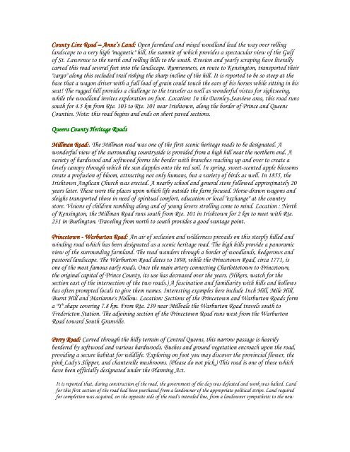
County Line Road – Anne’s Land: Open farmland and mixed woodland lead the way over rollinglandscape to a very high "magnetic" hill, the summit of which provides a spectacular view of the Gulfof St. Lawrence to the north and rolling hills to the south. Erosion and yearly scraping have literallycarved this road several feet into the landscape. Rumrunners, en route to Kensington, transported their"cargo" along this secluded trail risking the sharp incline of the hill. It is reported to be so steep at thebase that a wagon driver with a full load of grain could touch the ears of his horses while sitting in hisseat! The rugged hill provides a challenge to the traveler as well as wonderful vistas for sightseeing,while the woodland invites exploration on foot. Location: In the Darnley-Seaview area, this road runssouth for 4.5 km from Rte. 103 to Rte. 101 near Irishtown, along the border of Prince and QueensCounties. Note: this road begins and ends on short paved sections.Queens County Heritage RoadsMillman Road:. The Millman road was one of the first scenic heritage roads to be designated. Awonderful view of the surrounding countryside is provided from a high hill near the northern end. Avariety of hardwood and softwood forms the border with branches reaching up and over to create alovely canopy through which the sun dapples onto the red soil. In spring, sweet-scented apple blossomscreate a profusion of bloom, attracting not only humans, but a variety of birds as well. In 1855, theIrishtown Anglican Church was erected. A nearby school and general store followed approximately 20years later. These were the places upon which life outside the farm focused. Horse-drawn wagons andsleighs transported those in need of spiritual comfort, education or local "exchange" at the countrystore. Visions of children rambling along and of young lovers strolling come to mind. Location : Northof Kensington, the Millman Road runs south from Rte. 101 in Irishtown for 2 km to meet with Rte.231 in Burlington. Traveling from north to south provides a good vantage point.Princetown - Warburton Road: An air of seclusion and wilderness prevails on this steeply hilled andwinding road which has been designated as a scenic heritage road. The high hills provide a panoramicview of the surrounding farmland. The road wanders through a border of woodlands, hedgerows andpastoral landscape. The Warburton Road dates to 1898, while the Princetown Road, circa 1771, isone of the most famous early roads. Once the main artery connecting Charlottetown to Princetown,the original capital of Prince County, its use has decreased over the years. (Hikers, watch for thesection east of the intersection of the two roads.) A fascination and familiarity with hills and hollowshas often prompted locals to give them names. Interesting examples here include Inch Hill, Mile Hill,Burnt Hill and Marianne's Hollow. Location: Sections of the Princetown and Warburton Roads forma "Y" shape covering 7.8 km. From Rte. 239 near Millvale the Warburton Road travels south toFredericton Station. The adjoining section of the Princetown Road runs west from the WarburtonRoad toward South Granville.Perry Road: Carved through the hilly terrain of Central Queens, this narrow passage is heavilybordered by softwood and various hardwoods. Bushes and ground vegetation encroach upon the road,providing a secure habitat for wildlife. Exploring on foot you may discover the provincial flower, thepink Lady's Slipper, and chanterelle mushrooms. (Please do not pick.) This road is one of those whichhave been officially designated under the Planning Act.It is reported that, during construction of the road, the government of the day was defeated and work was halted. Landfor this first section of the road had been purchased from a landowner of the appropriate political stripe. Land requiredfor completion was acquired, on the opposite side of the road's intended line, from a landowner sympathetic to the new


