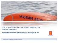
Seafloor mapping using interferometric sonars
Seafloor mapping using interferometric sonars
Seafloor mapping using interferometric sonars
SHOW LESS
- No tags were found...

You also want an ePaper? Increase the reach of your titles
YUMPU automatically turns print PDFs into web optimized ePapers that Google loves.
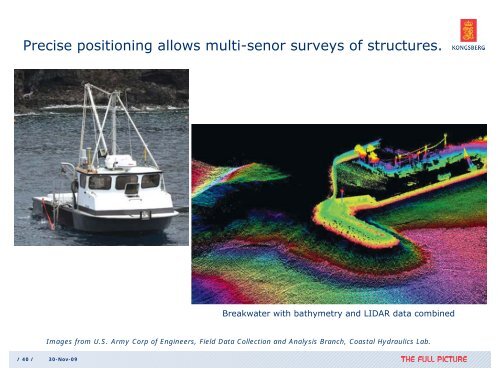
Precise positioning allows multi-senor surveys of structures.Breakwater with bathymetry and LIDAR data combinedImages from U.S. Army Corp of Engineers, Field Data Collection and Analysis Branch, Coastal Hydraulics Lab./ 40 / 30-Nov-09