Frontier Tanzania Environmental Research - Frontier-publications ...
Frontier Tanzania Environmental Research - Frontier-publications ...
Frontier Tanzania Environmental Research - Frontier-publications ...
You also want an ePaper? Increase the reach of your titles
YUMPU automatically turns print PDFs into web optimized ePapers that Google loves.
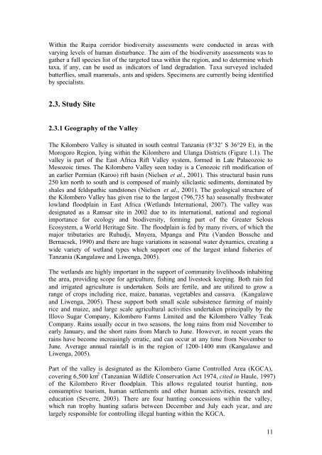
Within the Ruipa corridor biodiversity assessments were conducted in areas withvarying levels of human disturbance. The aim of the biodiversity assessments was togather a full species list of the targeted taxa within the region, and to determine whichtaxa, if any, can be used as indicators of land degradation. Taxa surveyed includedbutterflies, small mammals, ants and spiders. Specimens are currently being identifiedby specialists.2.3. Study Site2.3.1 Geography of the ValleyThe Kilombero Valley is situated in south central <strong>Tanzania</strong> (8°32’ S 36°29 E), in theMorogoro Region, lying within the Kilombero and Ulanga Districts (Figure 1.1). Thevalley is part of the East Africa Rift Valley system, formed in Late Palaeozoic toMesozoic times. The Kilombero Valley seen today is a Cenozoic rift modification ofan earlier Permian (Karoo) rift basin (Nielsen et al., 2001). This structural basin runs250 km north to south and is composed of mainly siliclastic sediments, dominated byshales and feldspathic sandstones (Nielsen et al., 2001). The geological structure ofthe Kilombero Valley has given rise to the largest (796,735 ha) seasonally freshwaterlowland floodplain in East Africa (Wetlands International, 2007). The valley wasdesignated as a Ramsar site in 2002 due to its international, national and regionalimportance for ecology and biodiversity, forming part of the Greater SelousEcosystem, a World Heritage Site. The floodplain is fed by many rivers, of which themajor tributaries are Ruhudji, Mnyera, Mpanga and Pitu (Vanden Bossche andBernacsek, 1990) and there are huge variations in seasonal water dynamics, creating awide variety of wetland types which support one of the largest inland fisheries of<strong>Tanzania</strong> (Kangalawe and Liwenga, 2005).The wetlands are highly important in the support of community livelihoods inhabitingthe area, providing scope for agriculture, fishing and livestock keeping. Both rain fedand irrigated agriculture is undertaken. Soils are fertile, and are utilized to grow arange of crops including rice, maize, bananas, vegetables and cassava. (Kangalaweand Liwenga, 2005). These support both small scale subsistence farming of mainlyrice and maize, and large scale agricultural activities undertaken principally by theIllovo Sugar Company, Kilombero Farms Limited and the Kilombero Valley TeakCompany. Rains usually occur in two seasons, the long rains from mid November toearly January, and the short rains from March to June. However, in recent years therains have become increasingly erratic, and can occur at any time from November toJune. Average annual rainfall is in the region of 1200-1400 mm (Kangalawe andLiwenga, 2005).Part of the valley is designated as the Kilombero Game Controlled Area (KGCA),covering 6,500 km 2 (<strong>Tanzania</strong>n Wildlife Conservation Act 1974, cited in Haule, 1997)of the Kilombero River floodplain. This allows regulated tourist hunting, nonconsumptivetourism, human settlements and other human activities, research andeducation (Severre, 2003). There are four hunting concessions within the valley,which run trophy hunting safaris between December and July each year, and arelargely responsible for controlling illegal hunting within the KGCA.11


