Corps of Engineers Inland Electronic Navigation Chart Initiative ...
Corps of Engineers Inland Electronic Navigation Chart Initiative ...
Corps of Engineers Inland Electronic Navigation Chart Initiative ...

You also want an ePaper? Increase the reach of your titles
YUMPU automatically turns print PDFs into web optimized ePapers that Google loves.
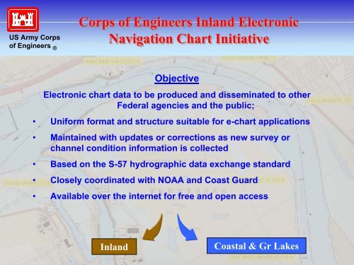
US Army <strong>Corps</strong><strong>of</strong> <strong>Engineers</strong> ®<strong>Corps</strong> <strong>of</strong> <strong>Engineers</strong> <strong>Inland</strong> <strong>Electronic</strong><strong>Navigation</strong> <strong>Chart</strong> <strong>Initiative</strong>Objective<strong>Electronic</strong> chart data to be produced and disseminated to otherFederal agencies and the public;• Uniform format and structure suitable for e-chart applications• Maintained with updates or corrections as new survey orchannel condition information is collected• Based on the S-57 hydrographic data exchange standard• Closely coordinated with NOAA and Coast Guard• Available over the internet for free and open access<strong>Inland</strong>Coastal & Gr Lakes