Corps of Engineers Inland Electronic Navigation Chart Initiative ...
Corps of Engineers Inland Electronic Navigation Chart Initiative ...
Corps of Engineers Inland Electronic Navigation Chart Initiative ...

You also want an ePaper? Increase the reach of your titles
YUMPU automatically turns print PDFs into web optimized ePapers that Google loves.
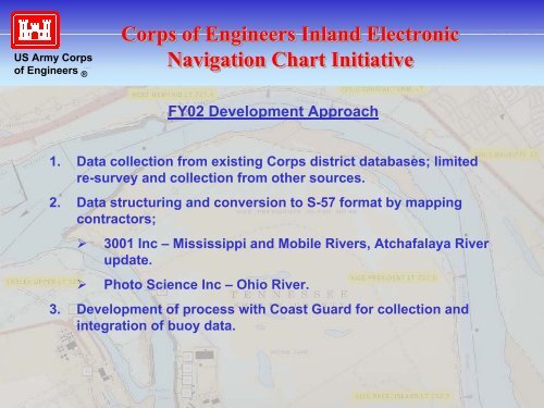
US Army <strong>Corps</strong><strong>of</strong> <strong>Engineers</strong> ®<strong>Corps</strong> <strong>of</strong> <strong>Engineers</strong> <strong>Inland</strong> <strong>Electronic</strong><strong>Navigation</strong> <strong>Chart</strong> <strong>Initiative</strong>FY02 Development Approach1. Data collection from existing <strong>Corps</strong> district databases; limitedre-survey and collection from other sources.2. Data structuring and conversion to S-57 format by mappingcontractors;‣ 3001 Inc – Mississippi and Mobile Rivers, Atchafalaya Riverupdate.‣ Photo Science Inc – Ohio River.3. Development <strong>of</strong> process with Coast Guard for collection andintegration <strong>of</strong> buoy data.